What is recorded here
Not marked on OS 1836 or 1876 eds. Known locally as a 'fort'. Raised circular area (int. diam. c. 30.7m) enclosed by the remains of a drystone rampart. Original entrance not recognisable. Densely overgrown with vegetation.
The above description is derived from the published 'Archaeological Inventory of County Cavan' (Dublin: Stationery Office, 1995). In certain instances the entries have been revised and updated in the light of recent research.
Date of upload/revision: 22 December 2008
The monument record does not grant public access. Check the route and ask the landowner before entering private land.
- What survives
- Recorded monument
Places near here
 Enclosure in Ture (tullyhaw By.)Enclosure · 949 yd
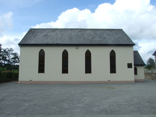 Blacklion Methodist Churchchurch/chapel · 1091 yd
 Sweathouse in Cornagee (clankee By.)Sweathouse · 1397 yd
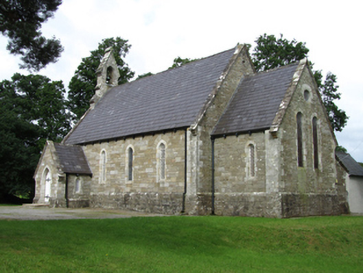 Killinagh Churchchurch/chapel · 1401 yd
 Legnaveagh SinkholeCave · 1739 yd
 CullentraghMountain / peak · 1.1 mi
 Boulder GraveyardArchaeological place · 1.1 mi
 BurrenMountain / peak · 1.1 mi
 Cavan BurrenHeritage attraction · 1.2 mi
 Dolines/SinkholesCave · 1.2 mi
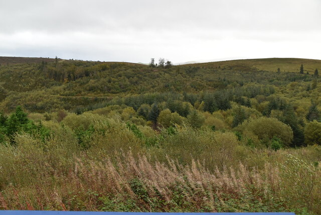 Cavan Burren ParkForest · 1.2 mi
 Marlbank ViewpointViewpoint · 1.5 mi