What is recorded here
In pasture, just east of summit of hillock; land falls away sharply to N, E and S. Circular area (26m N-S; 28m E-W) enclosed by earthen bank (H 2.2m) ESE->NW; scarp NW->NE (H 1.6m). Small triangular field adjoins enclosure where bank levelled NE->ESE. Fosse evident as slight depression outside bank to S.
The above description is derived from the published 'Archaeological Inventory of County Cork. Volume 1: West Cork' (Dublin: Stationery Office, 1992). In certain instances the entries have been revised and updated in the light of recent research.
Date of upload/revision: 14 January 2009
The monument record does not grant public access. Check the route and ask the landowner before entering private land.
- What survives
- Recorded monument
Places near here
 IndicatedFairy fort / earthen ringfort · 600 yd
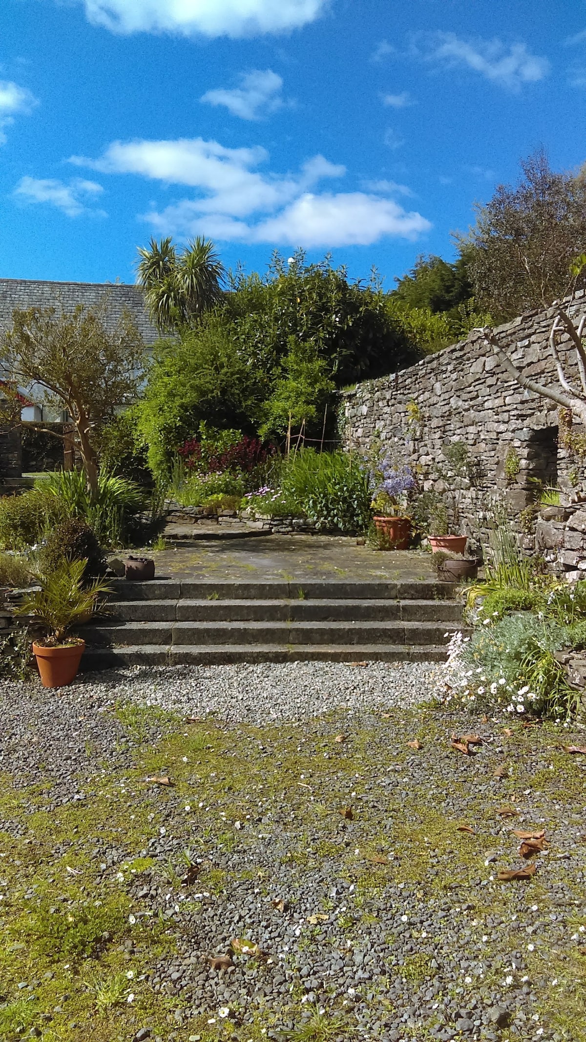 Enclosure in Knockacullen (carbery East (e.d) By.)Enclosure · 1188 yd
 Corran HillMountain / peak · 1.2 mi
 schoolschool · 1.4 mi
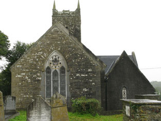 Christ Churchchurch/chapel · 1.4 mi
 Fahanacowley Castle (Site of)Castle, unclassified · 1.6 mi
 Ballinvard CastleCastle · 1.7 mi
 Irish National Forestry FoundationNature reserve · 2.4 mi
 The GlenWood · 2.4 mi
 Castle RockNamed rock · 4.3 mi
 Battle of the Big Cross (1798) Memorial MonumentMonument · 5.6 mi
 Jeremiah O'Donovan RossaMemorial · 5.8 mi