What is recorded here
Located c. 60m SW of the southern point of Turf Island in the sub-oval northern part (max. dims c. 1.4km E-W; c. 900m N-S) of St. John's Lough. It is depicted as a small island (diam. c. 15m) only on the 1907 edition of the OS 6-inch map and is only visible at very low water levels. This is a grass-covered earth and stone island (max. dims 33m N-S; 14m E-W) surrounded by reeds but there is no evidence of artificial construction. The crannog (LE024-012----) is c. 40m to the SE.
The above description is derived from 'The Archaeological Inventory of County Leitrim' compiled by Michael J. Moore (Dublin: Stationery Office, 2003). In certain instances the entries have been revised and updated in the light of recent research.
Date of upload: 23 September 2008
The monument record does not grant public access. Check the route and ask the landowner before entering private land.
- What survives
- Recorded monument
Places near here
 Crane IslandIslet · 55 yd
 Turf IslandIsland · 298 yd
 Fairy fort / ringfort in AghavaddenFairy fort / ringfort · 1.1 mi
 CoolkillChurch · 1.1 mi
 CastleCastle, tower house · 1.3 mi
 St. Patricks WellHoly well · 1.3 mi
 CastleforeCastle, tower house · 1.9 mi
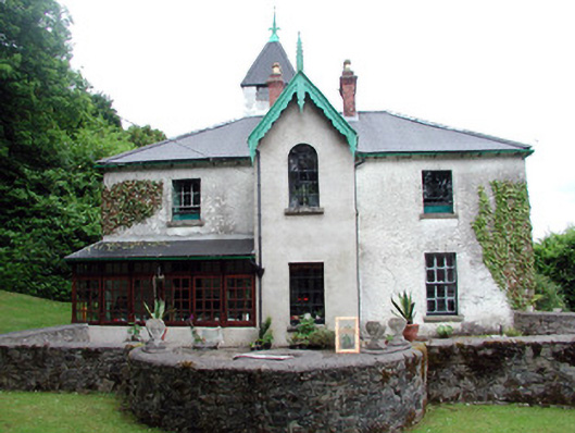 Lawderdale Housecountry house · 2.4 mi
 European ashEuropean ash · 2.5 mi
 DrumbadMountain / peak · 2.7 mi
 Cromlin Bridge WoodWood · 2.8 mi
 DrumgownaghMountain / peak · 4.7 mi