What is recorded here
Indicated is a circular earthen ringfort in County Cork, Ireland, measuring thirty-six metres north-south and thirty-four metres east-west. Its remaining bank stands one metre high along the northern edge, while a gap to the west-northwest marks the entrance. The site sits in open pasture on a gentle slope, preserving the shape of a place where people once lived, worked and belonged.
In pasture on gentle NNW-facing slope. Circular area (36m N-S; 34m E-W) defined by earthen bank (H 1m) N->WNW; slight traces of fosse to W and NE. Less substantial straignt length of bank WNW->N, overgrown, may be later replacement; low external scarp may trace original line of bank. Entrance gap to WNW.
The above description is derived from the published 'Archaeological Inventory of County Cork. Volume 2: East and South Cork' (Dublin: Stationery Office, 1994). In certain instances the entries have been revised and updated in the light of recent research.
Date of upload/revision: 14 January 2009
The monument record does not grant public access. Check the route and ask the landowner before entering private land.
- What survives
- Recorded monument
Places near here
 Site of Grave YardGraveyard · 345 yd
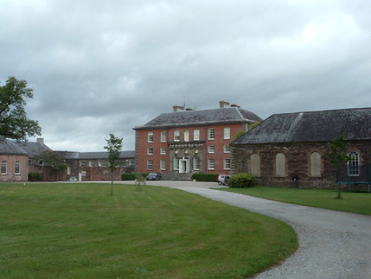 Kilshannig Housecountry house · 424 yd
 Icehouse in Kilshannig UpperIcehouse · 513 yd
 Ballyglissane Bridgebridge · 564 yd
 Tower (in Ruins)Bawn · 1.0 mi
 Rathcormac massacremassacre · 1.3 mi
 Devonshire's HillMountain / peak · 2.4 mi
 Barrymore Castle or Castle LyonsHouse, fortified house · 2.8 mi
 Monananig WoodsWood · 3.1 mi
 Pope's WellSpring · 3.7 mi
 Corrin WoodsWood · 3.9 mi
 Cappagh XViewpoint · 4.3 mi