What is recorded here
Described by O'Sullivan (2004, 114-5) as following; 'Located on the southwest shore of a small lake (Newtown Lough) on the modern Meath/Westmeath border. The site is located on the end of a small promontory of marshy land extending out into the water. The crannóg is a low, circular mound (dims. 19m N-S x 29m E-W; H 1-2m) of small stones situated at the water’s edge on the sandy shore of Newtown Lough. It has a level, grassy upper surface and is scarped on the shoreline side, over 1-2m, on north, east and west sides. There are no wooden posts visible, but there appears to be a slight kerb of stones along the north side'.
Compiled by: Caimin O'Brien based on details provided by Aidan O'Sullivan.
Date of upload: 10 March 2017
The monument record does not grant public access. Check the route and ask the landowner before entering private land.
- What survives
- Recorded monument
Places near here
 CastleCastle, unclassified · 454 yd
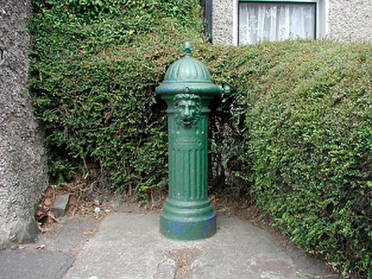 water pumpwater pump · 1325 yd
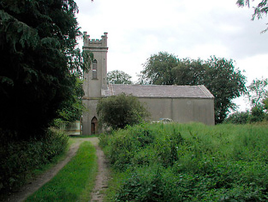 Saint John's Church (Killua)church/chapel · 1507 yd
 OutlinedFairy fort / earthen ringfort · 1.2 mi
 European ashEuropean ash · 1.3 mi
 IndicatedFairy fort / earthen ringfort · 1.5 mi
 European YewEuropean Yew · 1.5 mi
 MoatCastle, motte and bailey · 1.9 mi
 Drewstown LittleMountain / peak · 3.1 mi
 Kells HillMountain / peak · 3.9 mi
 BoglandMemorial · 4.7 mi
 Causey FarmHeritage attraction · 4.7 mi