What is recorded here
Situated in undulating countryside. Depicted as a lime-kiln on the 1838 edition of the OS 6-inch map and shown as a horseshoe-shaped mound on the 1908 edition of the OS 6-inch map and the 25-inch map as a mound (diam. c. 20m) with a raised area (c. 60m E-W) around it from E-NNW. This mound probably represents the levelled remains of the lime-kiln depicted on the 1838 edition of the OS 6-inch map. Today there are no visible surface remains. Reference to a moated site here (Feehan 1983, 247).
The above description is derived from the published 'Archaeological Inventory of County Laois' (Dublin Stationery Office, 1995) compiled by P. David Sweetman, Olive Alcock and Bernie Moran. In certain instances the entries have been revised and updated in the light of recent research.
Compiled by Caimin O'Brien
Date of upload/revision: 11 December 2011
The monument record does not grant public access. Check the route and ask the landowner before entering private land.
- What survives
- Recorded monument
Places near here
 Heywood HouseOfficially recorded historic building · 765 yd
 Heywood GardensHeritage attraction · 796 yd
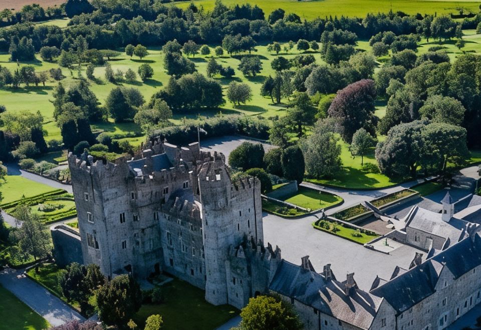 CastleCastle, motte · 1046 yd
 Enclosure in MoatEnclosure · 1207 yd
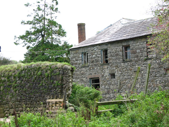 Enclosure in Haywood DemesneEnclosure · 1246 yd
 Moat Castle in ruinsCastle, unclassified · 1470 yd
 AskuarWood · 1559 yd
 BlackthornBlackthorn · 1577 yd
 Saint Brigid's Catholic Churchchurch/chapel · 1.0 mi
 1798 MonumentMemorial · 1.1 mi
 Knocknamoe HouseMemorial · 3.0 mi
 Abbeyleix Heritage CentreMuseum · 3.1 mi