What is recorded here
Located on top of a hill with farm buildings immediately to the NE. It was described in 1968 (SMR file) as a raised and circular grass and scrub-covered area (diam. 35m NW-SE) defined by a scarp (at N: H 2m; at SW: Wth 4m; H 1.7m). The original entrance was not identified and there was no visible fosse as farm buildings abutted the base of the scarp N-E and it was skirted by a farm lane E-S-W. There was a field bank at the base of the scarp W-N. The interior was occupied by a large farm shed obliterating the S part of the monument by 1995 (OSAP) while the N part became paved.
The above description is derived from the published 'Archaeological Inventory of County Monaghan' (Dublin: Stationery Office, 1986). In certain instances the entries have been revised and updated in the light of recent research.
Compiled by: Michael Moore
Date of revision: 26 February 2018
The monument record does not grant public access. Check the route and ask the landowner before entering private land.
- What survives
- Recorded monument
Places near here
 Braddocks Presbyterian Churchchurch/chapel · 1210 yd
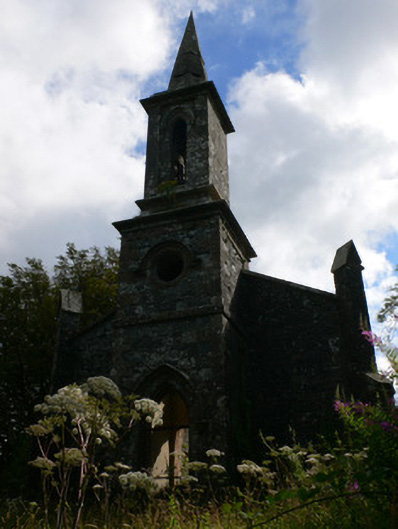 Saint Patrick's Church (Tullycorbet)church/chapel · 1693 yd
 Lisleitrim FortFairy fort / earthen ringfort · 1.3 mi
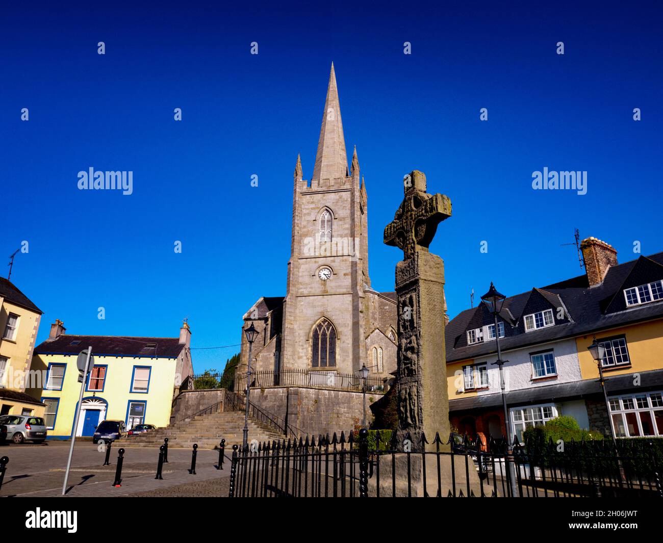 Embanked enclosureFairy fort / earthen ringfort · 2.3 mi
 Castleshane WaterfallWaterfall · 2.6 mi
 Battle of ClontibretBattlefield · 3.1 mi
 Rossmore MausoleumHeritage attraction · 4.4 mi
 The Rabbit BurrowWood · 4.5 mi
 Ailinn GiantHeritage attraction · 4.5 mi
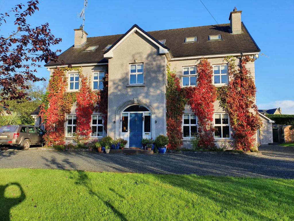 Knockamaddy Big WoodWood · 4.7 mi
 Bawn in Roosky (monaghan By., Monaghan Par.)Bawn · 4.7 mi
 Rossmore MonumentMemorial · 4.7 mi