What is recorded here
Located at the N end of the summit of a short N-S ridge. The site of the parish church of Kilmuckridge (WX022-021001-) is within D-shaped graveyard (dims. c. 45m E-W; c. 40m N-S) defined by a masonry wall. There are no visible remains of the old church at ground level apart from a fragment of a window mullion that would suggest a late medieval date for the church. Archaeological testing (22E0182) by D. Shine in an area (dims c. 60m N-S; c. 60m E-W) and c. 50m to the W at the closest point produced no related material (excavations.ie 2022:512).
Compiled by: Michael Moore
Date of upload: 31 July, 2012
Amended: 10/03/2023
This remains an important historical record, but the official description says the monument is no longer visible or has been destroyed. The monument record does not grant public access. Check the route and ask the landowner before entering private land.
- What survives
- No visible remains or recorded as destroyed
Places near here
 Church in KilmuckridgeChurch · 1 yd
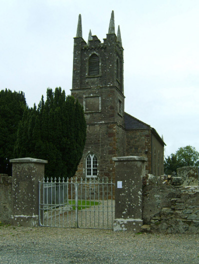 Kilmuckridge Churchchurch/chapel · 14 yd
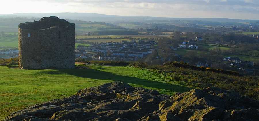 Embanked enclosureFairy fort / earthen ringfort · 392 yd
 Brides WellHoly well · 509 yd
 Hachured moundCastle, motte · 546 yd
 Castle Anneslwy (in ruins)Bawn · 1.6 mi
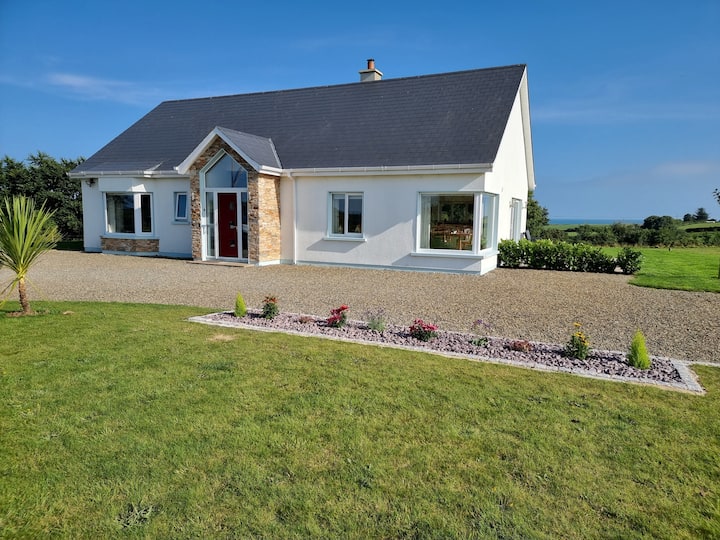 Tinnaberna BeachBeach / strand · 1.8 mi
 Morriscastle BeachBeach / strand · 2.3 mi
 Birds of PreyVisitor information · 2.6 mi
 Bird BoxesVisitor information · 2.6 mi
 Fontainebleau service treeFontainebleau service tree · 2.9 mi
 Kilnamanagh Grave YardArchaeological place · 3.3 mi