
What is recorded here
In pasture, straddling a rise in undulating terrain, overlooking a stream valley at N–NE which is bordered on its NE side by an esker.
Raised circular area (39.5m NNE–SSW; 39.5m ESE–WNW) defined by an earthen bank, and enclosed by a fosse and external bank.
The inner bank (Wth 5.2m at NE, 4.7m at SW; int. H 0.5m at NE, 0.75m at SW; ext. H 2.3m) is substantial with a pronounced external scarp. Traces of internal stone facing are evident in parts. At NNE three overlapping horizontal slabs protrude from the external slope of the bank.
The fosse (c. 3m) is evident merely as a gap or terrace rather than as a sunken feature, especially to N–NE. The external bank (Wth 3m; int. H 1.25m; ext. H 1.1m, at W) has an earthen core but is faced with stone; the stone facing, which is largely collapsed, appears to be a later modification, the result of the incorporation of the rath into a later system of field walls. At N–NE the external bank survives mainly as a scarp (H 1.5m) bordering the terrace-like fosse, and from ENE–SW it is subsumed into a later field wall.
The entrance was possibly at SE, where there is a break (Wth c. 2m) in the inner bank and a suggestion of a causeway across the fosse. A later field wall obliterates any evidence of a corresponding break in the outer bank.
The interior is bisected on a NW–SE axis by a field wall. The NW quadrant appears slightly raised. According to local information, there is a Man-made underground passage (MA072-084001-) in the NW quadrant.
A slightly sunken rectangular structure (5.5m E–W; 2m N–S; D 0.5m) enclosed by drystone walling (Wth 0.6-0.7m; H 1m) is built against the inner face of the bank at W; this appears to be the remnants of a rectangular house shown on the 1838 and 1930 OS 6-inch maps, most likely 18th/19th century in date.
The interior of the rath is grassy; the perimeter is thickly ringed with ash, holly, hawthorn and hazel, with some brambles.
Compiled by: Jane O’Shaughnessy
Date of upload: 21 May 2021
The monument record does not grant public access. Check the route and ask the landowner before entering private land.
- What survives
- Recorded monument
Places near here
 Kilkelly ChurchChurch · 1.3 mi
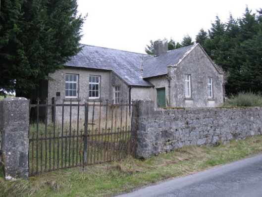 Saint Patrick's National Schoolschool · 1.4 mi
 Mass-rock in TavraunMass-rock · 1.7 mi
 East Mayo Brigade MonumentMemorial · 1.7 mi
 TobercoghlanHoly well · 1.9 mi
 Rath Castle in ruinsCastle, tower house · 2.3 mi
 CastleCastle, unclassified · 4.4 mi
 Thorn CaveCave · 6.7 mi
 Knock ShrineHeritage attraction · 7.0 mi
 Knock MuseumMuseum · 7.1 mi
 I'll Send You The FareMemorial · 7.5 mi
 Bockagh HillMountain / peak · 9.6 mi
Other information
Photo: Credit not shown in the picture search · Rights wording not checked; contact us if this picture should be removed