What is recorded here
This monument stands c. 140m WSW of Site A. Now partly incorporated in a roadside fence, the structure is quite ruined and consists of four orthostats and what appears to be a displaced roof stone. The roofstone, 2.2m by 2.2m and 0.4m thick, leans against the western face of an orthostat measuring 0.75m high and at least 1.6m long, which is aligned more or less N-S. Just 0.2m to the E of the concealed southern end of this orthostat are two set stones, each c. 0.6m long, the northern one 0.55m high and the southern 0.4m. Approximately lm S of the large orthostat is another set stone. This is 0.6m long and also 0.6m high. Although the remains are clearly those of a megalithic tomb, its original design is not clear. Its proximity to the cruciform passage tomb (Site A) and to another probable passage tomb (Site B) suggests that it too may be the remains of one. A large quantity of human bone is said to have been unearthed here in 1839 (Fagan 1845-8).
Fagan 1845-8, book 10, 31; Ó Nualláin 1968b, 9 (plan, photograph); Herity 1974, 214, Dg. 4; Ó Nualláin 1983a, 36, no. 78 (plan); SMR 1987, 70:68; Ó Nualláin 1989, 127; RMP 1995, 70:63.
Kilmonaster Middle (Site D).
The above description was published in the 'Survey of the Megalithic Tombs of Ireland. Volume VI, County Donegal.' Compiled by: Eamon Cody (Dublin: Stationery Office, 2002).
Date of upload: 22 September 2008
No archaeological significance
NGR 22734 39764
Excavation Licence No. 05E0801
Pre-development testing was carried out on 18 July 2005 at a site in advance of its development at Kilmonaster Middle townland, Ballindrait, Co. Donegal. The proposed development, which consisted of the construction of a silage pit, dung pit, effluent containment tank and dry-bed cattle shed, was located within the constraint area for an archaeological complex, the Kilmonaster Passage Tomb cemetery. The nearest monument of the complex, a passage tomb, was 5m from the proposed containment tank. The cattle shed was 24m from the same monument. As the groundworks involved in the construction of the cattle shed consisted of four pits (1m by 1m by 1m deep) located along one side of the proposed structure, it was decided to concentrate the test-trenches at the proposed containment tank location.
Three trenches were excavated, which measured 16.3m, 33m and 36.3m long, 0.9-1.3m wide and 0.1-1m deep. Below the topsoil were fill, grey/brown friable silt loam, orange/brown loose loamy sand and bedrock. A number of modern pottery sherds and one worked piece of flint were found in the topsoil. The fill consisted of soil and rocks and was located along the line of a field boundary. The friable silt loam contained a small number of animal bone fragments (from a calf) at c. 0.3m below the surface. The loamy sand was sterile.
The landowner had informed me prior to the testing that livestock had been buried along this field boundary in years gone by, so the finding of bone was not a surprise. The stray find of worked flint in the topsoil was also not surprising, considering the proximity of the passage tomb (Excavations Bulletin 2005).
Richard Crumlish, 4 Lecka Grove, Castlebar Road, Ballinrobe, Co. Mayo.
Portal dolmen; likely dates to the Neolithic or early Bronze Age. Its partial survival offers insight into megalithic construction practices in the region.
The monument record does not grant public access. Check the route and ask the landowner before entering private land.
- What survives
- Recorded monument
Places near here
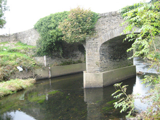 Ballymonaster Bridgebridge · 1581 yd
 Church (Site of)Church · 1634 yd
 Enclosure in Keeloges (clonleigh South Ed)Enclosure · 1689 yd
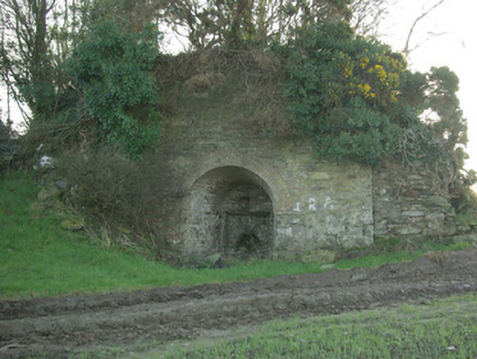 kilnkiln · 1.1 mi
 Carnowen HillMountain / peak · 1.3 mi
 OutlinedBawn · 1.6 mi
 Croaghan HillMountain / peak · 1.7 mi
 CastleCastle, unclassified · 1.9 mi
 BATTLE SITE: in 789 AD & BATTLE OF THE FORDS , Southern crossing, 1689 in Clady; DonnygowanBATTLE SITE: in 789 AD & BATTLE OF THE FORDS , Southern crossing, 1689 · 2.6 mi
 BATTLE SITE: BATTLE OF THE FORDS, Central crossing, 1689 in Magirr; Town Parks OF StrabaneBATTLE SITE: BATTLE OF THE FORDS, Central crossing, 1689 · 3.9 mi
 Feddyglass WoodWood · 4.2 mi
 Gray PrinterHeritage attraction · 4.6 mi