What is recorded here
On a low E-W ridge in tillage. A fairly well-preserved, but totally overgrown, rectangular area (int. 32m NW-SE; 24m NE-SW) is defined by a substantial earthen bank (int. H 1.2m; Wth 16m; ext. H over fosse 4.7m) and a broad outer fosse (Wth at base 3.6m; D 1.8m).
Compiled by: Gearóid Conroy
Date of upload: 09 October 2013
The monument record does not grant public access. Check the route and ask the landowner before entering private land.
- What survives
- Recorded monument
Places near here
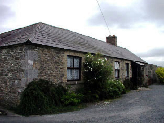 Kilmead Househouse · 675 yd
 Saint Ita's Catholic Churchchurch/chapel · 1055 yd
 Enclosure in Oldgrange (fontstown Ed)Enclosure · 1087 yd
 Enclosure in KilmeadEnclosure · 1479 yd
 Ardscull MoatCastle, motte · 1.2 mi
 Gorden Bennet Race memorialMemorial · 1.3 mi
 History of Moat of ArdscullVisitor information · 1.3 mi
 European BeechEuropean Beech · 1.3 mi
 CastleCastle, unclassified · 1.4 mi
 Narraghmore WoodWood · 2.2 mi
 Battle of Kilrushbattle · 2.2 mi
 1798 memorialMemorial · 4.9 mi