
What is recorded here
Cropmark of roughly rectangular-shaped area (approx. dims. 43m NE-SW) visible on Google Earth aerial imagery taken 28/06/2018. Could be the remains of a levelled moated site or possibly the site of the 'Old Grange' after which the townland was named.
See attached Google Earth orthoimage.
Compiled by: Caimin O'Brien based on details provided by Seán Sourke
Date of upload: 20 April 2021
The monument record does not grant public access. Check the route and ask the landowner before entering private land.
- What survives
- Recorded monument
Places near here
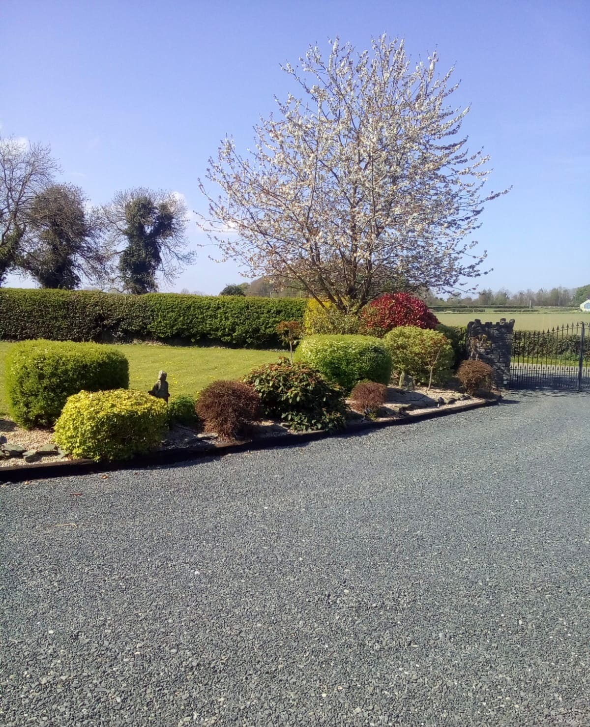 Enclosure in Oldgrange (monasterevin Ed)Enclosure · 848 yd
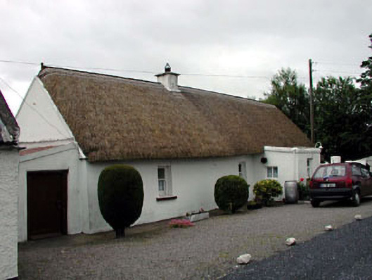 The Wee Thatchhouse · 1116 yd
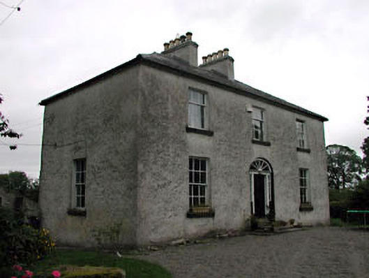 Glassely Housemiller's house · 1151 yd
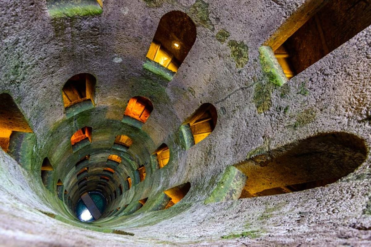 St. Patricks WellHoly well · 1524 yd
 CastleCastle, unclassified · 1652 yd
 Battle of Kilrushbattle · 1.7 mi
 Narraghmore WoodWood · 1.7 mi
 Ardscull MoatCastle, motte · 1.9 mi
 Gorden Bennet Race memorialMemorial · 1.9 mi
 History of Moat of ArdscullVisitor information · 1.9 mi
 European BeechEuropean Beech · 1.9 mi
 1798 memorialMemorial · 5.5 mi
Other information
Photo: Credit not shown in the picture search · Rights wording not checked; contact us if this picture should be removed