
What is recorded here
Aerial photographs (GB89. AF 07 & 08 and GB89. AE.10) show an extensive field system, comprising rectilinear fields and two integrated trackways, surrounding the church site and its associated ecclesiastical enclosure. Trackway visible on Bing Bird's Eye (Viewed 18/01/2015).
Compiled by: Geraldine Stout
Updated by: Christine Baker
Date of upload: 18 January 2015
The monument record does not grant public access. Check the route and ask the landowner before entering private land.
- What survives
- Recorded monument
Places near here
 Church (site of)Church · 199 yd
 Earthwork in KilmartinEarthwork · 778 yd
 Saint Thomas's Church (Mulhuddart)church/chapel · 1.0 mi
 TyrrelstownWood · 1.1 mi
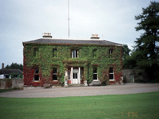 Tyrrelstown Housecountry house · 1.1 mi
 Wesley's WoodsWood · 1.2 mi
 Graveyard in BuzzardstownGraveyard · 1.6 mi
 Kilbride MoatCastle, motte · 1.7 mi
 Depicted Kilshane MoatCastle, motte · 2.6 mi
 Blanchardstown Centre information deskVisitor information · 2.8 mi
 Church, GraveyardChurch · 3.4 mi
 Horizon Logistics ParkVisitor information · 4.7 mi
Other information
Photo: Credit not shown in the picture search · Rights wording not checked; contact us if this picture should be removed