What is recorded here
Marked as a circular enclosure (diam. c. 45m) on the 1840 and 1925 eds. of the OS 6-inch map and situated in pasture at the bottom of a NE-SW valley, c. 40m NW of a stream. It was removed in the 1970s and is described locally as a circular area (diam. c. 45m) traditionally associated with a Man-made underground passage (WA027-031002-) (Decie 1983, 56). Neither site is visible at ground level.
Decie (1983) Old Waterford Society Survey, Decies, No. 24, 42-57.
The above description is derived from the published 'Archaeological Inventory of County Waterford' (Dublin: Stationery Office, 1999). In certain instances the entries have been revised and updated in the light of recent research.
Compiled by: Michael Moore
Date of upload/revision: 10 June 2011
The monument record does not grant public access. Check the route and ask the landowner before entering private land.
- What survives
- Recorded monument
Places near here
 Man-made underground passage in KilmaquagueMan-made underground passage · 1 yd
 IndicatedFairy fort / earthen ringfort · 727 yd
 Church in ruinsChurch · 899 yd
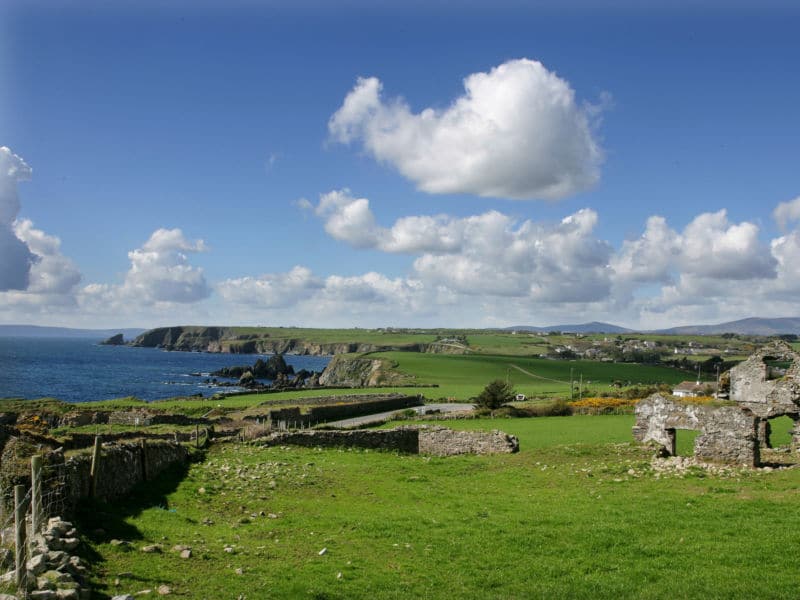 South East Coastal DriveVisitor information · 1112 yd
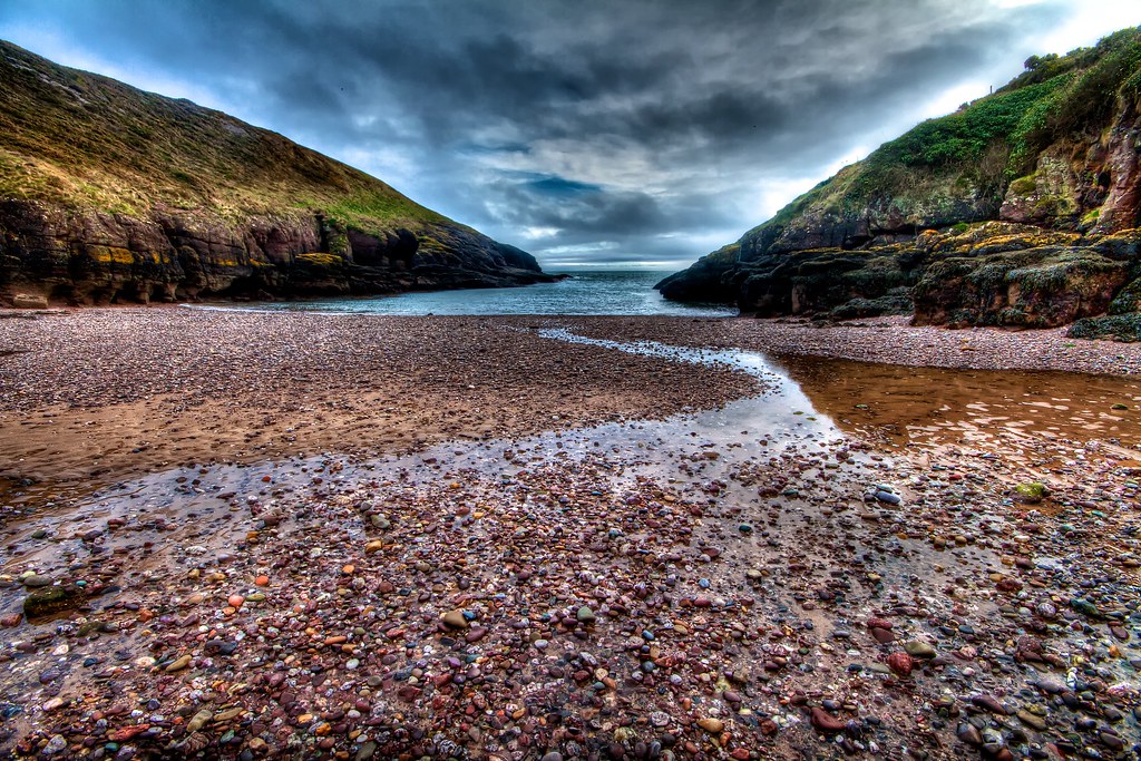 Portally CoveBeach / strand · 1385 yd
 Portally-Rathmoylan Cliff WalkWalking route · 1486 yd
 Coast Walk, and road returnWalking route · 1525 yd
 Rathmoylan CoveBeach / strand · 1670 yd
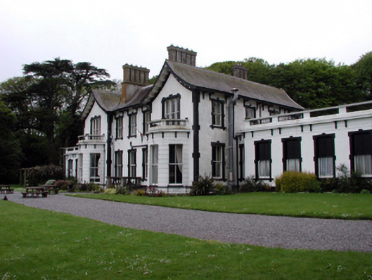 Villa Marinahouse · 1.4 mi
 Castle in ruinsCastle, Anglo-Norman masonry castle · 1.5 mi
 Lost at Sea Memorial WallMemorial · 1.6 mi
 Main ForestWood · 2.1 mi