What is recorded here
Depicted faintly as a rectangular area (dims. c. 20m NW-SE; c. 15m NE-SW) and described as 'Church (site of)' in Gothic script on the 1839 and 1924 eds of the OS 6-inch map. It is situated towards the bottom of a NE-facing slope with a W-E stream c. 70m to the N. This is a raised rectangular, grass-covered but stony area (dims. 17.5m NE-SW; 16.5m NW-SE; H 0.7-1.3m). There is no evidence of a structure or of burial.
The above description is derived from the published 'Archaeological Inventory of County Wexford' (Dublin: Stationery Office, 1996). In certain instances the entries have been revised and updated in the light of recent research.
Date of upload/revision: 18 July 2012
The monument record does not grant public access. Check the route and ask the landowner before entering private land.
- What survives
- Recorded monument
Places near here
 Site of ChurchChurch · 1 yd
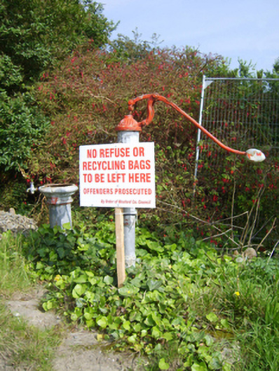 water pumpwater pump · 827 yd
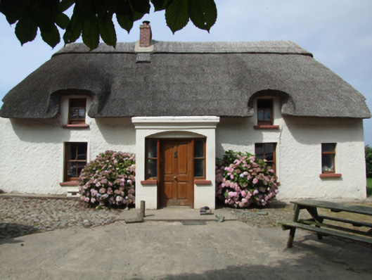 farm housefarm house · 1036 yd
 IndicatedFairy fort / ringfort · 1710 yd
 1798 Insurrection MemorialMemorial · 1.4 mi
 Ballingowan MoteCastle, motte · 1.4 mi
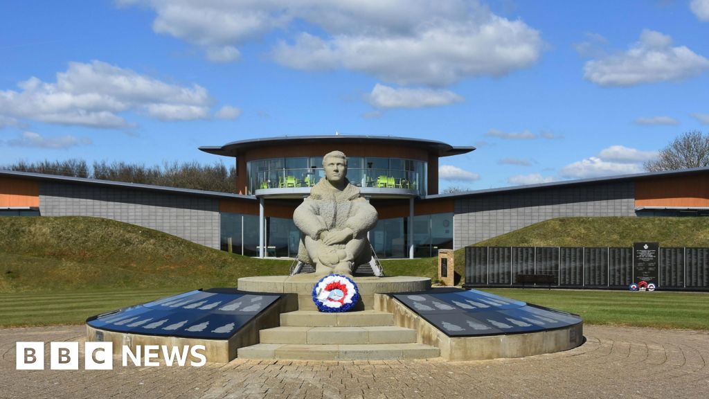 Memorial to The PomonaMemorial · 1.5 mi
 Blackwater Coastal Erosion Monitoring PointViewpoint · 2.1 mi
 71Mountain / peak · 2.4 mi
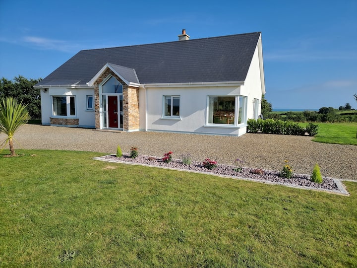 Tinnaberna BeachBeach / strand · 2.5 mi
 Hachured moundCastle, motte · 3.2 mi
 Birds of PreyVisitor information · 4.4 mi