What is recorded here
Located on a rise on a S-facing slope. It is depicted as a field bank curving S-NW on the SW side of a NW-SE farm track only on the 1907 edition of the OS 6-inch map. It was described in 1983 as a D-shaped area (dims 36m NW-SE; c. 20m NE-SW) defined by a bank or scarp of fieldstones SE-W-NW and the NW-SE farm lane at NE and was used to contain fieldstones. It had been removed by 1995 (OSAP) and was probably a small field.
Revised by: Michael Moore
Date of upload: 30 January 2018
The monument record does not grant public access. Check the route and ask the landowner before entering private land.
- What survives
- Recorded monument
Places near here
 CarnCairn, unclassified · 646 yd
 LisarrillyFairy fort / earthen ringfort · 702 yd
 Lisarrilly HillMountain / peak · 836 yd
 Roosky Castle (Site of)Castle, ringwork · 987 yd
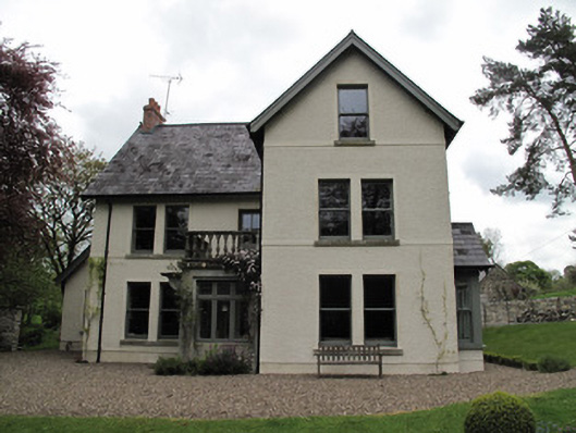 Millviewmill manager's house · 1.0 mi
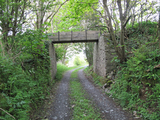 aqueductaqueduct · 1.0 mi
 Jaundice WellSpring · 1.9 mi
 KillycoonaghWood · 2.8 mi
 Common LimeCommon Lime · 2.8 mi
 Saint John's WellSpring · 3.0 mi
 Tomb HillMountain / peak · 4.0 mi
 Dagda's CauldronHeritage attraction · 4.8 mi