What is recorded here
In pasture, located towards the S side of an NW–SW ridge. This monument is shown on 1838 OS 6-inch map as a circular enclosure (diam. c. 20m); it is not shown on the 1922 edition. There is no visible trace at ground level.
Compiled by: Jane O’Shaughnessy
Date of upload: 6 December 2018
This remains an important historical record, but the official description says the monument is no longer visible or has been destroyed. The monument record does not grant public access. Check the route and ask the landowner before entering private land.
- What survives
- No visible remains or recorded as destroyed
Places near here
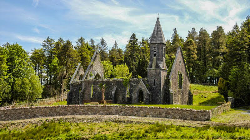 RathwanowenFairy fort / earthen ringfort · 370 yd
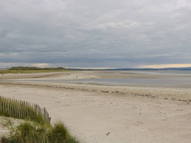 Enclosure in Townplots WestEnclosure · 786 yd
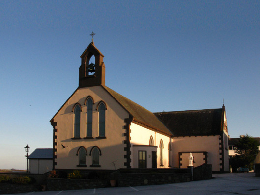 Saint Patrick's Catholic Churchchurch/chapel · 1167 yd
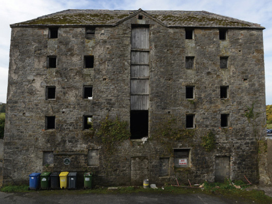 store/warehousestore/warehouse · 1343 yd
 Battle of Killalabattle · 1373 yd
 CastleCastle, unclassified · 1485 yd
 Green IslandIslet · 1509 yd
 Rinnaun PointHeadland · 1705 yd
 Bawn in Meelick (tirawley By.)Bawn · 1.5 mi
 Battlefields of MoyneBattlefield · 2.0 mi
 Moyne AbbeyHeritage attraction · 2.6 mi
 Bartragh IslandIsland · 2.6 mi