What is recorded here
Towards the top of the gentle W-facing slope of a drumlin overlooking Ardakillin Lough c. 350m to NW. The parish church of Killukin (RO028-108001-) is within a D-shaped grass-covered enclosure (dims 50m N-S; 49m E-W) defined by a scarp (H 0.2-1m) with the straight side at N. There is no evidence of burial, and the perimeter at E is overlain by a N-S field wall. A rectangular limestone block (RO028-108003-) with a carved face at one end (Siggins 1990, 45) is now in Strokestown Heritage Centre (RO029-012----).
Compiled by: Michael Moore
Date of upload: 24 August 2010
The monument record does not grant public access. Check the route and ask the landowner before entering private land.
- What survives
- Recorded monument
Places near here
 Church (in Ruins)Church · 13 yd
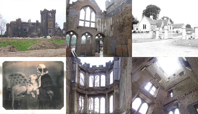 Embanked enclosureFairy fort / earthen ringfort · 942 yd
 Enclosure in ClareEnclosure · 1575 yd
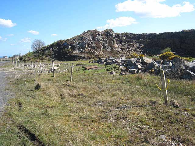 Quarry in BallydalyQuarry · 1.4 mi
 Leitrim CastleCastle, unclassified · 2.3 mi
 Common LimeCommon Lime · 3.6 mi
 Sweet ChestnutSweet Chestnut · 3.6 mi
 Strokestown House GardensHeritage attraction · 3.7 mi
 Cruachan Aí Heritage CentreMuseum · 3.7 mi
 CastleCastle, unclassified · 3.7 mi
 ToberagullaSpring · 4.4 mi
 Slieve BawnMountain / peak · 4.9 mi