
Places near here
Photo credits
- National Inventory of Architectural Heritage
- kevin higgins, Geograph · CC BY-SA 2.0
- dougf, Wikimedia Commons · CC BY-SA 2.0
- A.-K. D., Wikimedia Commons · CC BY-SA 4.0
- Sarah777 at en.wikipedia, Wikimedia Commons · Public domain
- A.-K. D., Wikimedia Commons · CC0
- Paddy Ryan, Wikimedia Commons · CC BY-SA 4.0
- Hajotthu, Wikimedia Commons · CC BY-SA 3.0
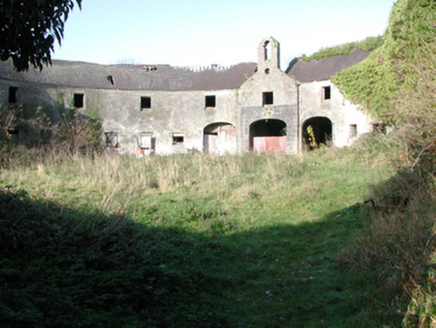 outbuilding1.0 mi
 Clomantagh MillsMill (water) · 1.1 mi
Explorer Tom Clomantagh Mills was started after two lads bet they could grind flour with a water wheel. One lost his shirt, and now we have this charming shell left behind. Bring a flask to toast their bad decision.
 IndicatedBawn · 1.1 mi
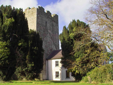 farm house1.1 mi
 CastleCastle, tower house · 1.1 mi
 Sheela-na-gig in Clomantagh LowerSheela-na-gig · 1.1 mi
Explorer Tom Sheela-na-gig in Clomantagh Lower has a local who claims he invented the design himself back in the medieval era. The figure is waving at you with one hand while showing everything else with the other. Take a breath of that air, it's older than your car.
 TobermurryHoly well · 1.2 mi
Explorer Tom Tobermurry is Lady’s Well, but nobody visits anymore because they forgot how to say please when asking for a sip. It sits there looking bored by the mill race next door. Count the crows, then count again.
 Clomantagh Church (in ruins)Church · 1.2 mi
Explorer Tom Clomantagh Church has a statue of the Virgin Mary watching over things like a very stern auntie. She’s definitely seen some questionable decisions made by people passing by that road. Tell the next person you meet it's haunted. It might be.
 Clomantagh HillMountain / peak · 1.7 mi
 John HelyMemorial · 3.7 mi
 Devil's Bit MountainMountain / peak · 20 mi
Explorer Tom Devil's Bit Mountain is where some poor sod’s love story went completely pear-shaped next to the cliff edge. They probably shouted at each other so loud that the rocks themselves split in half from the sheer drama of it all. Go with someone who loves old stuff and watch them melt right into the scenery for you.
 Hore AbbeyHeritage attraction · 24 mi
Explorer Tom Hore Abbey claims a fake royal visit that nobody can disprove because the queen was actually a very tall farmer. It’s all part of the mystery. Ring your granny and tell her where you are.
More archaeology and monuments in County Kilkenny · All of County Kilkenny

What do you know about this place?Tap to add a comment or ask a question