.png)
What is recorded here
Reported (5-10-2021) by Mr Aidan Harte, Project Co-ordinator, Leitrim Sweathouse Project. Indicated - though incorrectly named ‘Well’ - on the OS 25-inch map and indicated but not named on the later, Cassini edition of the OS 6-inch map. Another sweathouse (LE016-035----) stands c.650m to the ESE.
In rough pasture, built into a steep SE-facing slope just S of a small, SE-flowing stream, c. 44m NE of a recently abandoned farmhouse. A drystone, rectangular structure (L 1.28m; Wth 1.1; H 1.62m) with a corbelled roof and an entrance at SE (Wth 0.42m; H 0.62m).
See attached image: LE016-036----_1 View from south-east (Photo credit: D. McCarthy 5-1-2021)
Compiled by: Gearóid Conroy
Date of upload: 4 November 2022
Linked to Saint Killooman, the site is traditionally associated with cures for skin ailments and general well-being. The name derives from the Irish "Cill Lúamháin," meaning "church of the holy well," reflecting its historical role as a place of pilgrimage and ritual.
The monument record does not grant public access. Check the route and ask the landowner before entering private land.
- What survives
- Recorded monument
Places near here
 Sweat Ho.Sweathouse · 707 yd
 Enclosure in Gortnasillagh EastEnclosure · 1.9 mi
 ArdlougherMountain / peak · 2.0 mi
 Church (in Ruins)Church · 2.5 mi
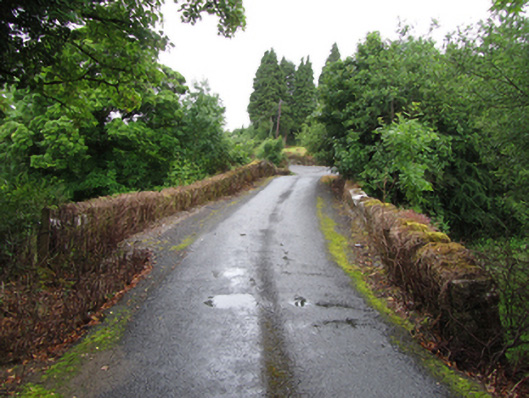 Old Bridgebridge · 2.6 mi
 CorrakeeldrumMountain / peak · 2.8 mi
 TobermurrySpring · 2.9 mi
 Corrard ForestForest · 3.0 mi
 Republican Garden of RemembranceMemorial · 3.3 mi
 Forde's CastleCastle · 4.5 mi
 Drummans IslandIslet · 4.5 mi
 Gull RockIslet · 4.6 mi
Other information
Photo: Credit not shown in the picture search · Rights wording not checked; contact us if this picture should be removed