
What is recorded here
Situated on an E-W drumlin ridge with E-W valleys and streams c. 150m to the N and c. 150m to the S. This is a grass and rush-covered D-shaped area (dims 29m E-W; 14m N-S) defined by a slight bank (Wth 3m; H 0.1-0.3m) at W and E and by a scarp (H 0.6m) at N. There are slight indications of an external fosse (D 0.1m) accompanying the bank and scarp, but the entrance is not identified and the monument is truncated by an ENE-WSW road bank at S.
The above description is derived from 'The Archaeological Inventory of County Leitrim' compiled by Michael J. Moore (Dublin: Stationery Office, 2003). In certain instances the entries have been revised and updated in the light of recent research.
Date of upload: 23 September 2008
The monument record does not grant public access. Check the route and ask the landowner before entering private land.
- What survives
- Recorded monument
Places near here
 Sweat Ho.Sweathouse · 309 yd
 Church (in Ruins)Church · 1.2 mi
 IndicatedFairy fort / stone ringfort · 1.4 mi
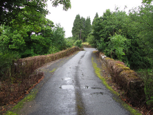 Old Bridgebridge · 1.7 mi
 ArdlougherMountain / peak · 1.9 mi
 Drummans IslandIslet · 2.7 mi
 Forde's CastleCastle · 2.8 mi
 Corry ShoalIslet · 2.9 mi
 Republican Garden of RemembranceMemorial · 2.9 mi
 Corrard ForestForest · 3.3 mi
 TobermurrySpring · 3.6 mi
 CarrickbrannanMountain / peak · 3.6 mi
Other information
Photo: Credit not shown in the picture search · Rights wording not checked; contact us if this picture should be removed