
What is recorded here
Situated on top of a drumlin. There are no known references to this church, and it is marked only on the 1907 edition of the OS 6-inch map. The church is a rectangular structure (int. dims 12.5m E-W; 5.4m N-S) of roughly coursed and mortared walls (max. H 1.2m; T 1.1m) with cairn material. There are faint traces of a rectangular building (ext. dims 6m E-W; 3m N-S) abutting its N wall towards the E end. Near the church is a stone from a chamfered doorway (dims 0.52m x 0.34m; H 0.2m) with a wingless griffin, engraved in false relief on the underside.
The church is within a grass-covered subcircular enclosure (diam. c. 42m N-S; c. 40m E-W) defined by an earthen bank (Wth 2.6-3m; H 0.5-0.8m) which is incorporated into a field bank NW-NE and removed SSE-SW. Two old field banks extend W from the church to the perimeter of the enclosure. A children's burial ground (LE016-016003-) lies immediately E of the church, but otherwise there is no evidence of burial.
The above description is derived from 'The Archaeological Inventory of County Leitrim' compiled by Michael J. Moore (Dublin: Stationery Office, 2003). In certain instances the entries have been revised and updated in the light of recent research.
Date of upload: 23 September 2008
A local church or high cross; wider significance not recorded.
The monument record does not grant public access. Check the route and ask the landowner before entering private land.
- What survives
- Recorded monument
Places near here
 Sweat Ho.Sweathouse · 340 yd
 IndicatedFairy fort / stone ringfort · 439 yd
 Penal Mass station in AltavraPenal Mass station · 1.1 mi
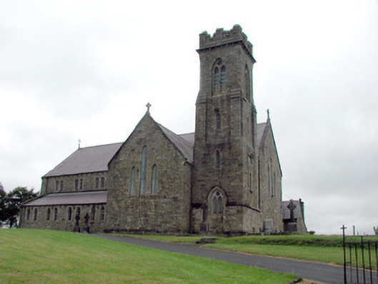 Saint Brigid's Catholic Churchchurch/chapel · 1.9 mi
 Drummans IslandIslet · 2.7 mi
 ArdlougherMountain / peak · 3.1 mi
 Corry ShoalIslet · 3.2 mi
 Forde's CastleCastle · 3.4 mi
 Black PoplarBlack Poplar · 3.7 mi
 European ashEuropean ash · 3.7 mi
 Republican Garden of RemembranceMemorial · 4.1 mi
 Scardan WaterfallWaterfall · 4.6 mi
Other information
Photo: Credit not shown in the picture search · Rights wording not checked; contact us if this picture should be removed