
What is recorded here
On a hummock in otherwise level grassland. Poorly preserved subcircular enclosure (c. 100m E-W; c. 80m N-S) defined by a degraded earthen bank from NW through N to E and by a scarp from SW to NW. Farm buildings occupy the SE sector of the interior and no visible surface traces of the enclosing elements survive here. A trackway cuts across the monument from NNW to S.
Compiled by: Galway Archaeological Survey, UCG
Date of upload: 13 December 2017
The monument record does not grant public access. Check the route and ask the landowner before entering private land.
- What survives
- Recorded monument
Places near here
 Kilcrow Bridgebridge · 1103 yd
 Church in Garryad AND GarryduffChurch · 1.4 mi
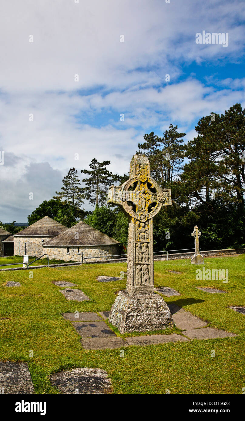 Site of CrossCross · 1.5 mi
 ‘St. Imor’s Holy Well’Holy well · 1.5 mi
 MoatCastle, motte and bailey · 3.7 mi
 CastleCastle, unclassified · 4.3 mi
 European YewEuropean Yew · 4.6 mi
 Church HillMountain / peak · 4.7 mi
 European BeechEuropean Beech · 4.9 mi
 Long IslandIsland · 6.2 mi
 Portland IslandIsland · 6.6 mi
 The bloody HollowHeritage attraction · 7.6 mi
Other information
Photo: Credit not shown in the picture search · Rights wording not checked; contact us if this picture should be removed