
What is recorded here
Located on a gentle S-facing slope on the N bank of the Broad Meadow River and c. 15m from the stream. The church at Killegland (ME045-004----) had been granted to the Augustinian abbey of St. Thomas’ (DU018-020051-) by Hugh de Lacy, and this was endorsed in later grants up to the early thirteenth century (Gilbert…
Read the whole record
Located on a gentle S-facing slope on the N bank of the Broad Meadow River and c. 15m from the stream. The church at Killegland (ME045-004----) had been granted to the Augustinian abbey of St. Thomas’ (DU018-020051-) by Hugh de Lacy, and this was endorsed in later grants up to the early thirteenth century (Gilbert 1889, 8, 11, 26, 45-6), one of which, probably from the 1190s, mentions a mill and fish stocks. The ponds are depicted on the 1836 and 1908 editions of the OS 6-inch map. A topographical survey identified three connected hollows in an ENE-WSW line this area. At the W end a rectangular depression (dims c. 10m x c. 10m) is fed by a broad leat (Wth c. 5m) from the river approaching from the SW. About 5m to the E and fed by a leat from the W pond is a larger rectangular pond (dims c. 15m x c. 15m) that merges into the third pond (dims c. 45m ENE-WSW; c. 15m NNW-SSE), which connects with the stream again. (Frazer 2007, fig. 7)
See the attached plan from Frazer (2007, fig. 7)
Compiled by: Michael Moore
Date of upload: 21 December 2021
From the National Monuments Service (Archaeological Survey of Ireland) record ME045-041001
Places near here
Picture notes
- Computer-made picture. It does not show this monument.
- Computer-made picture. It does not show this playground.
- Harold Strong, Wikimedia Commons · CC BY-SA 2.0
- National Inventory of Architectural Heritage
- Computer-made picture. It does not show this mountain top.
- Computer-made picture. It does not show this garden.
 Settlement cluster in KilleglandSettlement cluster · 45 ydComputer-made pictureBawn in KilleglandBawn · 80 yd
 Stepping StonesFord · 119 ydComputer-made picture
 Metalworking site in KilleglandMetalworking site · 119 ydComputer-made picture
 Children's playground122 ydComputer-made picture
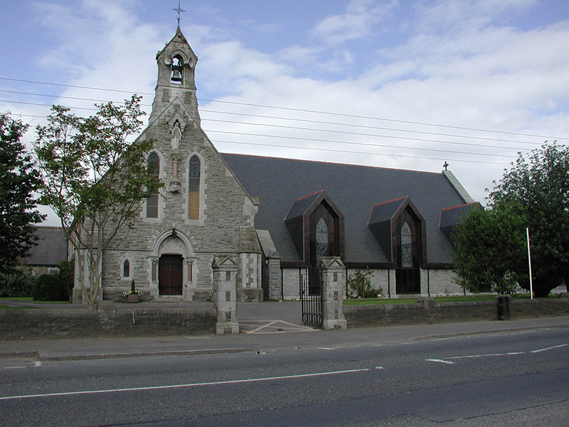
 Catholic Church of the Immaculate ConceptionChurch/chapel · 349 yd
 Ashbourne Parish HallSchool · 366 ydAshbourneMemorial · 1.2 miCastleCastle, motte · 1.7 miLemur WoodWood · 3.4 mi
 Windmill HillMountain / peak · 4.1 miComputer-made picture
 Fingal AllotmentsGarden · 5.5 miComputer-made picture
Explorer Tom Fingal Allotments in County Dublin are probably where Fingal grows his vegetables. No accounts mean he might still be there, tending to his potatoes. Check if any cabbages look angry. If so, apologize for the lack of sunlight.
More archaeology and monuments in County Meath · All of County Meath

What do you know about this place?Tap to add a comment or ask a question