What is recorded here
At the outer edge of a shelf towards the bottom of a N-facing slope. Rectangular grass-covered platform (dims 31.6m E-W; 28.5m N-S; H 1-1.6m) defined by flat-bottomed moats (Wth of top 4.8-7m; Wth of base 2.5-5m; D 0.5-1.2m) on all sides except the N where the moat is a band of rushes (Wth 4.4m), with an outer flat-topped bank (Wth of top 3.3m; H 0.5m) at E. It is surrounded by field banks on all sides except the N, and the corners of the platform are slightly raised (max. ext. dims 59m E-W; 46m N-S).
Compiled by: Michael Moore
Date of upload: 29th September, 2010
The monument record does not grant public access. Check the route and ask the landowner before entering private land.
- What survives
- Recorded monument
Places near here
 Embanked enclosureFairy fort / earthen ringfort · 879 yd
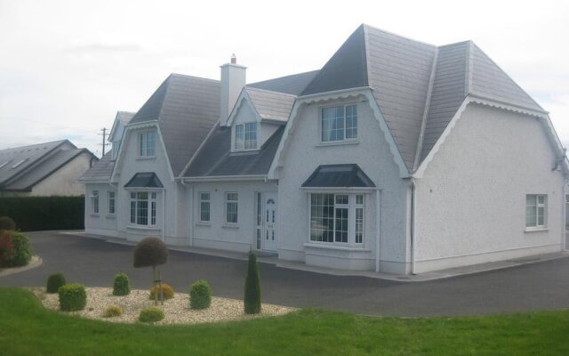 Enclosure in Ross More EastEnclosure · 1036 yd
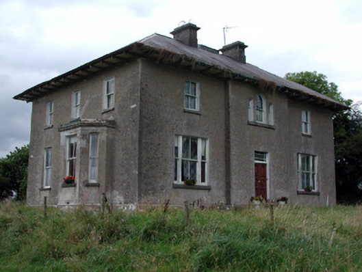 Rossmore Househouse · 1610 yd
 IndicatedChurch · 1.0 mi
 War of Independence Commemorative Military MemorialMemorial · 1.2 mi
 CastleCastle, unclassified · 3.6 mi
 Cruachan Aí Heritage CentreMuseum · 3.6 mi
 European ashEuropean ash · 4.2 mi
 ToberagullaSpring · 4.2 mi
 Caslans WoodForest · 4.8 mi
 Strokestown House GardensHeritage attraction · 5.6 mi
 CastlerubyCastle, unclassified · 5.8 mi