
What is recorded here
Described by J. O'Donovan as a possession of the Third Order of Franciscans (O'Flanagan 1931, vol. 2, 19), and situated towards the bottom of a S-facing slope. Described locally as a rectangular structure (dims c. 15m x c. 6m; H c.1.5m) with a pointed doorway in the N wall which was almost completely buried. It was removed c. 1985 when burials were found. The site is now occupied by a shed, but a low scarp (H 0.2-0.8m) commencing c. 20m E of the church site and curving S and W (dims c. 35m N-S may indicate an ecclesiastical enclosure (RO022-148002-). A well, c. 50m SSE of the church site and now removed, was not known locally as a holy well (RO022-148004-).
Compiled by: Michael Moore
Date of upload: 24 August 2010
The monument record does not grant public access. Check the route and ask the landowner before entering private land.
- What survives
- Recorded monument
Places near here
 Enclosure in Killeen EastEnclosure · 862 yd
 Embanked enclosureFairy fort / earthen ringfort · 1014 yd
 Church in LaghtcauskChurch · 1467 yd
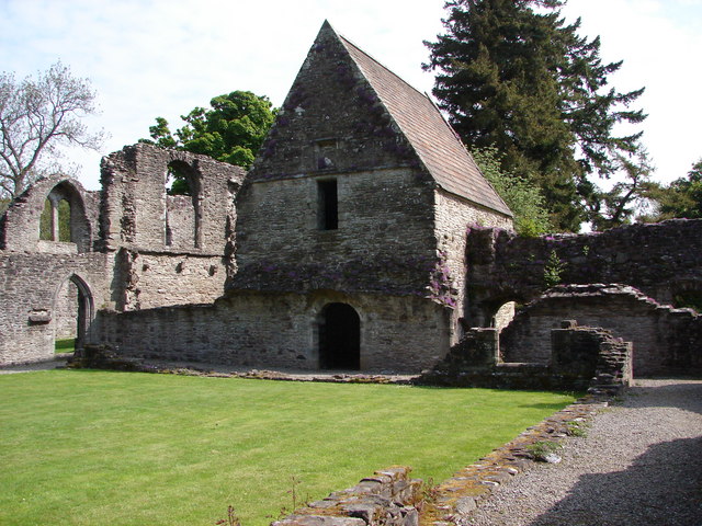 RuinChurch · 1.6 mi
 War of Independence Commemorative Military MemorialMemorial · 2.0 mi
 Caslans WoodForest · 3.8 mi
 CastleCastle, unclassified · 3.9 mi
 Cruachan Aí Heritage CentreMuseum · 3.9 mi
 Sweet ChestnutSweet Chestnut · 4.3 mi
 Strokestown House GardensHeritage attraction · 4.6 mi
 ToberagullaSpring · 4.7 mi
 CastlerubyCastle, unclassified · 6.4 mi
Other information
Photo: Credit not shown in the picture search · Rights wording not checked; contact us if this picture should be removed