What is recorded here
On a low rise of ground with good views of bogland in all directions. Indicated as a small mound on the 1903 ed. OS 6-inch map, though it is depicted as a more substantial mound (dims. N-S c. 30m; E-W c. 24m). No visible remains. Area used as front yard of a Bord Na Mona building to S of enclosure. On the first (1840) ed. OS 6-inch map it is depicted as an oval area (dims. N-S 35m; E-W 25m).
Compiled by: Jean Farrelly
Date of upload: 26 August 2011
The monument record does not grant public access. Check the route and ask the landowner before entering private land.
- What survives
- Recorded monument
Places near here
 Bog Castle (in Ruins)Castle, unclassified · 671 yd
 Enclosure in Killeen (killenaule Par.)Enclosure · 676 yd
 Derrynaflan TrailHeritage attraction · 1.1 mi
 Gobban Saer's GraveArchaeological place · 1.1 mi
 Church (in ruins)Church · 1.2 mi
 DerrynaflanEcclesiastical enclosure · 1.2 mi
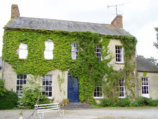 Cleragh Househouse · 1.3 mi
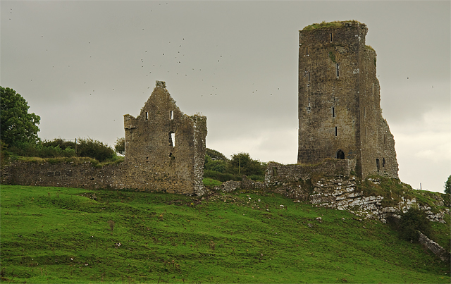 Bawn in GraystownBawn · 2.2 mi
 Waterloo HillMountain / peak · 2.4 mi
 Horse and JockeyVisitor information · 2.4 mi
 Slieveardagh Heritage CentreVisitor information · 2.4 mi
 Gift Horse GalleryGallery · 3.2 mi