What is recorded here
Built against natural slope; indicated on 1842 OS 6-inch map in quarry. Overgrown, random-rubble limestone front wall (H 3.2m; Wth c. 8m) on S side retains earthen core. Lintelled corbelled recess (H c. 2.8m: Wth 1.8m: D c. 2.1m) with stoking hole. Recess and forecourt filled with rubble. Funnel infilled.
The above description is derived from the published 'Archaeological Inventory of County Cork. Volume 4: North Cork' (Dublin: Stationery Office, 2000). In certain instances the entries have been revised and updated in the light of recent research.
Date of upload/revision: 14 January 2009
The monument record does not grant public access. Check the route and ask the landowner before entering private land.
- What survives
- Recorded monument
Places near here
 Killathy Church (in Ruins)Church · 482 yd
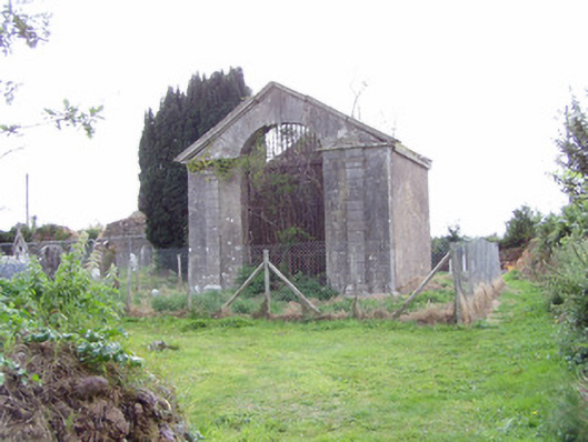 mausoleummausoleum · 505 yd
 Ballyhooly CastleCastle · 1325 yd
 G YdGraveyard · 1413 yd
 KilmoreEcclesiastical enclosure · 1.0 mi
 Johnson's WoodForest · 1.1 mi
 Castle (in Ruins)Castle, Anglo-Norman masonry castle · 1.3 mi
 Priest's WoodForest · 1.5 mi
 Blackwater (Avondhu) WayWalking route · 1.5 mi
 Liam BurkeMemorial · 2.5 mi
 Cappagh XViewpoint · 2.7 mi
 Knocknaskagh North TopMountain / peak · 3.1 mi