
What is recorded here
Off-centre to W in graveyard (14591). Ruin of church comprising nave (14.6m WSW-ENE; 8.6m NNW-SSE) and chancel (6.8m WSW-ENE; 5.2m NNW-SSE), built of random-rubble limestone. Remains densely overgrown. South wall of nave has ruined window embrasure near E end; wide gap W-of-centre (Wth c. 3m) may indicate position of doorway. North wall has doorway (Wth 1.4m) near E end covered by segmental arch, sides collapsed. West wall survives to height of side walls (H 3m). East wall of nave has narrow bluntly pointed chancel arch. Chancel has large burial vault inserted at W end. East gable stands to full height. Broken gap (Wth c. 1.2m) in S wall probably indicates window position. Remains of parish church of Killathy. Reported 'in ruins' in 1774 (Brady 1863, vol. 2, 45). Power (1932, 30) identifies Killathy with Ceall Aichedh, subsidiary church of Tuath O Quain, in Crichad an Chaoilli. A church here listed in Papal Taxation of 1291 (Brady, ibid., 43)
The above description is derived from the published 'Archaeological Inventory of County Cork. Volume 4: North Cork' (Dublin: Stationery Office, 2000). In certain instances the entries have been revised and updated in the light of recent research.
Date of upload/revision: 14 January 2009
A local church or high cross; wider significance not recorded.
The monument record does not grant public access. Check the route and ask the landowner before entering private land.
- What survives
- Recorded monument
Places near here
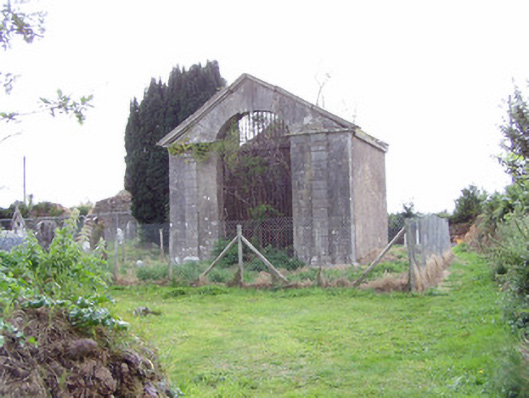 mausoleummausoleum · 26 yd
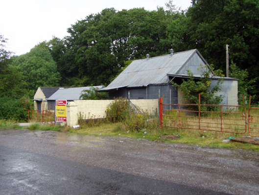 creamerycreamery · 1665 yd
 Ballyhooly CastleCastle · 1.0 mi
 KilmoreEcclesiastical enclosure · 1.0 mi
 G YdGraveyard · 1.1 mi
 Castle (in Ruins)Castle, Anglo-Norman masonry castle · 1.4 mi
 Johnson's WoodForest · 1.4 mi
 Priest's WoodForest · 1.7 mi
 Blackwater (Avondhu) WayWalking route · 1.8 mi
 Cappagh XViewpoint · 2.7 mi
 Liam BurkeMemorial · 2.7 mi
 Graveyard in BoherashGraveyard · 3.2 mi
Other information
Photo: Credit not shown in the picture search · Rights wording not checked; contact us if this picture should be removed