What is recorded here
In rolling average pasture, crowning the top of a small hillock, with excellent views in all directions, including the Ox Mountains to E-SE, and Nephin and the Nephin Beg range to W–SW. It overlooks a rath (MA022-009----) which is located downslope 30m to NW.
The mound is visible as a low, circular rise (diam. c. 8-10m; H 0.8-1m), densely covered in brambles, blackthorn and hawthorn. The nature of this mound is uncertain; overgrowth impeded examination. It may be a remnant of a barrow.
Extant field boundaries enclose the base of the hillock at W and S, and a low, defunct field bank/scarp skirts it at N−E.
Compiled by: Jane O’Shaughnessy
Date of upload: 23 April 2019
Portal dolmen; dates to the Early Bronze Age (c. 2500–1500 BCE). Its elevated position suggests it was a significant ceremonial or funerary monument with panoramic visibility across the landscape.
The monument record does not grant public access. Check the route and ask the landowner before entering private land.
- What survives
- Recorded monument
Places near here
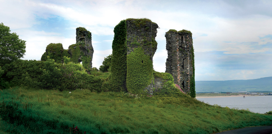 Crockbullock FortArchaeological place · 85 yd
 Parknaganny FortFairy fort / earthen ringfort · 519 yd
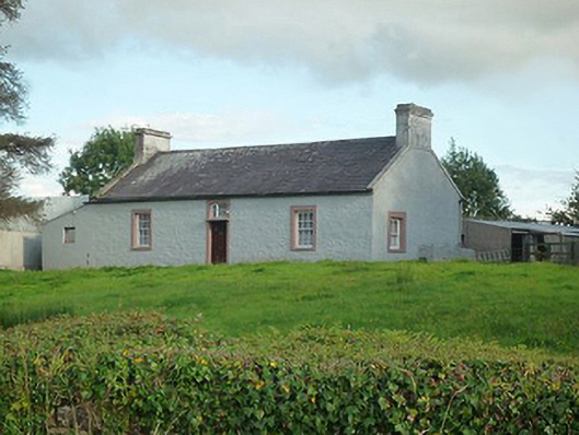 farm housefarm house · 1464 yd
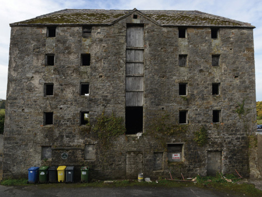 store/warehousestore/warehouse · 1617 yd
 Battle of Killalabattle · 1649 yd
 CastleCastle, unclassified · 1741 yd
 Castle (in Ruins)Castle, tower house · 1.2 mi
 Green IslandIslet · 1.3 mi
 Rinnaun PointHeadland · 1.7 mi
 Battlefields of MoyneBattlefield · 2.3 mi
 Moyne AbbeyHeritage attraction · 2.9 mi
 Bartragh IslandIsland · 3.1 mi