What is recorded here
Situated on a low knoll of a general S-facing slope, and on the N side of an ENE-WSW road from the Roman Catholic church (LE018-028001-). A well is marked on the 1835 and 1907 editions of the OS 6-inch map, but it is not named. According to John O’Donovan writing in the 1830s it was called Tober Brighide (O’Flanagan 1929, 134). It is a circular drystone built structure (diam. 0.8-1m; D 0.5m) with a stream running off to the E. Two stones span the stream and a large deciduous tree is growing over the well but there is no evidence of veneration.
Situated on a low knoll of a general S-facing slope, and on the N side of an ENE-WSW road from the Roman Catholic church (LE018-028001-). A well is marked on the 1835 and 1907 editions of the OS 6-inch map, but it is not named. According to John O’Donovan writing in the 1830s it was called Tober Brighide (O’Flanagan 1929, 134). It is a circular drystone built structure (diam. 0.8-1m; D 0.5m) with a stream running…
From the National Monuments Service (Archaeological Survey of Ireland) record LE018-028003
The monument record does not grant public access. Check the route and ask the landowner before entering private land.
- What survives
- Recorded monument
Places near here
Photo credits
- National Inventory of Architectural Heritage
- Kenraiz, Wikimedia Commons · CC BY-SA 3.0
- Willow, Wikimedia Commons · CC BY 2.5
- Oliver Dixon, Geograph · CC BY-SA 2.0
- Kenneth Allen, Wikimedia Commons · CC BY-SA 2.0
- Andreas F. Borchert, Wikimedia Commons · CC BY-SA 4.0
Sweat HouseSweathouse · 477 ydDrummans IslandIslet · 1.2 miCorry ShoalIslet · 1.5 miForde's CastleCastle · 1.6 mi New BridgeBridge · 1.9 miOld BridgeBridge · 1.9 miBlack Poplar2.2 miEuropean ash2.3 miScardan WaterfallWaterfall · 3.5 miTobermurvyHoly well · 4.3 miTobermurrySpring · 4.4 miLough AllenLarge freshwater lake · 5.1 mi
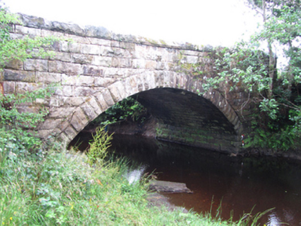 New BridgeBridge · 1.9 mi
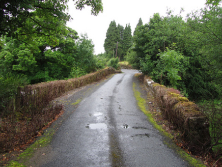 Old BridgeBridge · 1.9 mi
 Black Poplar2.2 mi
 European ash2.3 mi
 Scardan WaterfallWaterfall · 3.5 mi
 TobermurvyHoly well · 4.3 mi
 TobermurrySpring · 4.4 mi
 Lough AllenLarge freshwater lake · 5.1 mi
More archaeology and monuments in County Leitrim · All of County Leitrim
What do you know about this place?