What is recorded here
In pasture, on N-facing slope. Circular area (26.5m N-S) enclosed by earthen bank (H 1.9m), stone faced in parts. Entrance to WSW (Wth 2m).
The above description is derived from the published 'Archaeological Inventory of County Cork. Volume 1: West Cork' (Dublin: Stationery Office, 1992). In certain instances the entries have been revised and updated in the light of recent research.
Date of upload/revision: 14 January 2009
The monument record does not grant public access. Check the route and ask the landowner before entering private land.
- What survives
- Recorded monument
Places near here
 Hegarty's FarmhouseRuins · 665 yd
 Ruins of Daly HouseholdRuins · 883 yd
 Suí FinnMountain / peak · 1078 yd
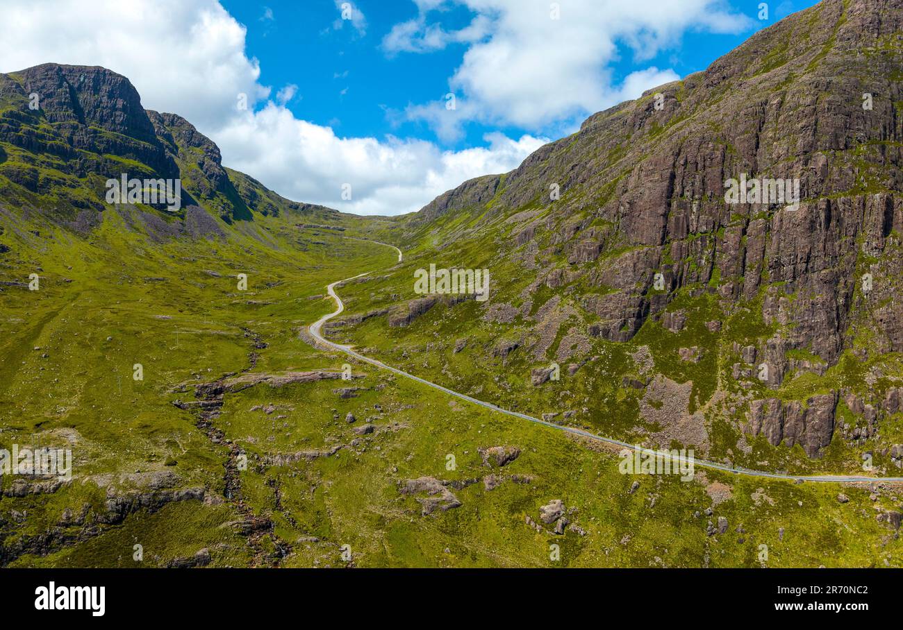 Bealach (pass)Viewpoint · 1109 yd
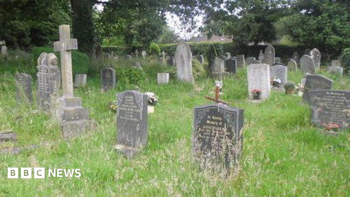 Kill Burial Gd (Children)Burial ground · 1207 yd
 Enclosure in Lahardane MoreEnclosure · 1243 yd
 West Cork Quad AdventuresHeritage attraction · 1291 yd
 Giant's GraveArchaeological place · 1652 yd
 Irish Sky GardenHeritage attraction · 1722 yd
 Carraig a' ShleáinMountain / peak · 1.1 mi
 Carraigín Na SúlViewpoint · 1.1 mi
 Tober an IarainnSpring · 1.3 mi