What is recorded here
A church (WA038-018002-) is denoted within a faintly marked enclosing feature (diam. c. 27m) on the 1840 ed. of the OS 6-inch map. Situated in pasture at the summit of a broad hill, there is no visible evidence of an enclosure at ground level.
Compiled by: Michael Moore
Date of upload: 1 March, 2012
The monument record does not grant public access. Check the route and ask the landowner before entering private land.
- What survives
- Recorded monument
Places near here
 (Site of) ChurchChurch · 1 yd
 Man-made underground passage in Lissarow (decies Within Drum By., Ballymacart Par.)Man-made underground passage · 1136 yd
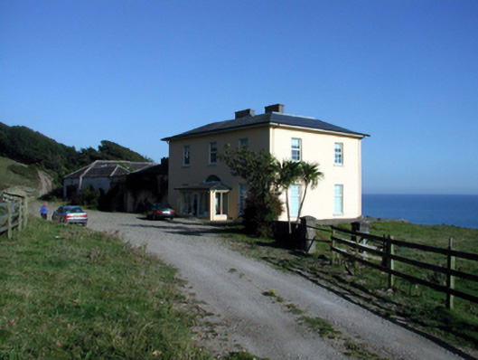 Ballyquin Househouse · 1.1 mi
 Catholic Church of Our Lady of the Assumptionchurch/chapel · 1.2 mi
 Ballyquinn BeachBeach / strand · 1.3 mi
 Curragh/Pebble BeachBeach / strand · 1.6 mi
 Ardmore Open FarmHeritage attraction · 2.5 mi
 Baile StairiúilVisitor information · 2.8 mi
 Ardmore Cliff WalkWalking route · 2.8 mi
 CarronadavdergMountain / peak · 3.5 mi
 Site of CastleCastle, unclassified · 4.3 mi
 Kilmaloo LoughWood · 4.4 mi