
What is recorded here
Along the southern boundary of Greenfield House Goodbody (1993, 30) has identified a possible section of Pale Ditch. This runs on a roughly E-W axis along a NE facing slope that falls away to a river c. 8m below surrounding ground level. It comprises a roughly continuous linear bank of earth and stone (H 1m, Wth at top 0.9m, Wth at base 1.4m) with a ditch on the southern or upper slope side (Wth 1.8m). This ditch is more apparent at the western end of the earthwork. Heavy vegetation obstructs the present views.
Compiled by: Geraldine Stout and Padraig Clancy.
Revised upload on: 21 April 2018.
The monument record does not grant public access. Check the route and ask the landowner before entering private land.
- What survives
- Recorded monument
Places near here
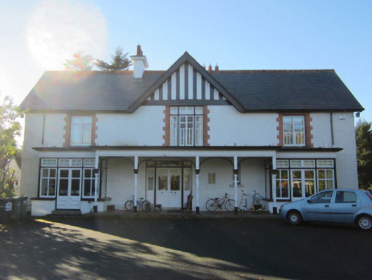 Greenfield Househouse · 207 yd
 Urn burial in KilgobbinUrn burial · 262 yd
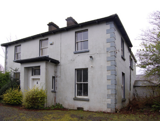 Clay Farmfarm house · 296 yd
 Cist in KilgobbinCist · 437 yd
 Murphystown Castle (in ruins)Castle, tower house · 1068 yd
 Flat cemetery in CarmanhallFlat cemetery · 1253 yd
 Silver BirchSilver Birch · 1693 yd
 Monterey CypressMonterey Cypress · 1715 yd
 Foxrock VillageVisitor information · 1.1 mi
 Samuel BeckettMemorial · 1.1 mi
 Foxrock Village Heritage MapVisitor information · 1.1 mi
 Kilgobbinhouse · 378 yd
Other information
Photo: Credit not shown in the picture search · Rights wording not checked; contact us if this picture should be removed