What is recorded here
Marked faintly as a rectangular feature (dims. c. 30m N-S; c. 30m E-W) only on the 1839 ed. of the OS 6-inch map, and located on the floodplain of the N-S River Slaney, which is c. 150m to the E. This is a square grass-covered area (dims. 24m N-S; 24m E-W) defined by silted moats (at W: Wth 10m; D 0.6m) on each side, with outer banks at S and W (Wth 6m; ext. H 0.5m). There is a causeway (Wth 5m) at the NW corner, and a dried up leat enters the moat from the NW.
The above description is derived from the published 'Archaeological Inventory of County Wexford' (Dublin: Stationery Office, 1996). In certain instances the entries have been revised and updated in the light of recent research.
Compiled by: Michael Moore
Date of upload/revision: 12 July 2012
The monument record does not grant public access. Check the route and ask the landowner before entering private land.
- What survives
- Recorded monument
Places near here
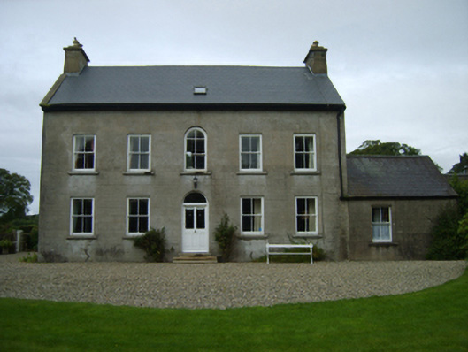 farm housefarm house · 223 yd
 Holy WellHoly well · 919 yd
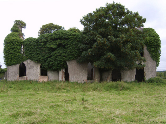 Kilgibbon Housefarm house · 1020 yd
 IndicatedFairy fort / earthen ringfort · 1342 yd
 King's IslandIsland · 1362 yd
 Scurlocksbush HillMountain / peak · 1.5 mi
 Black Castle (in ruins)Castle, tower house · 1.5 mi
 Dick Joynt MemorialMemorial · 1.9 mi
 CastleCastle, ringwork · 2.3 mi
 National 1798 CentreMuseum · 3.8 mi
 Battle of Vinegar HillMajor battlefield · 4.2 mi
 Duffry GateMemorial · 4.3 mi