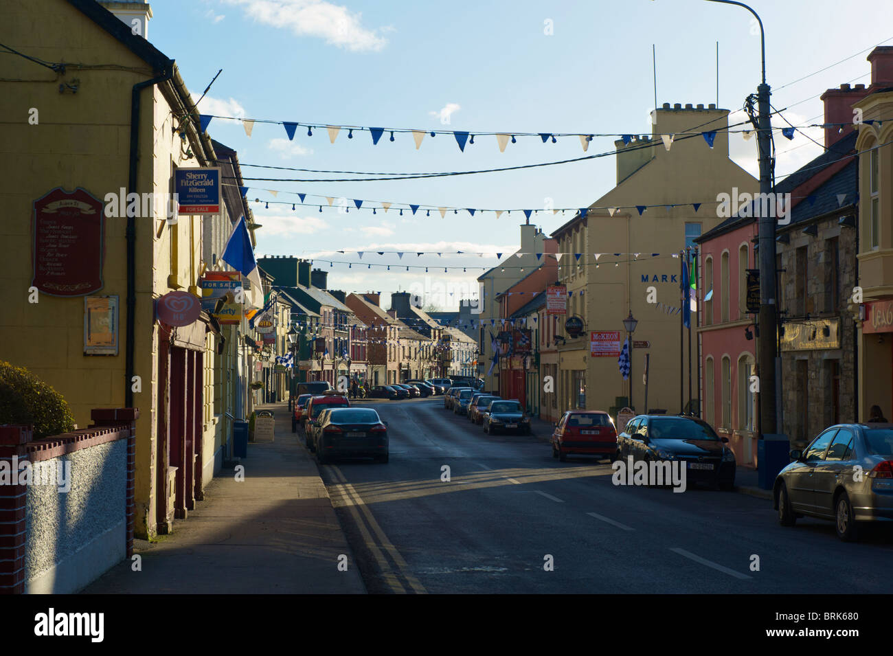
What is recorded here
Indicated is a twenty-two-metre earthen ringfort set in rough heather pasture on a lower hill slope, overshadowed by the Ox Mountains and looking across Ballymore Lough toward the Nephin Beg Range. Its stone-and-earth bank still stands between one and three metres high, with a narrow broken gap at the north-east and faint cultivation ridges crossing the level interior. The site may have been a working farmstead rather than a grand fortress, using the terrace for sightlines, drainage and life under open sky.
In rough heather-covered pasture, located on a level terrace on the lower NW–facing slope of a hill, overshadowed to E–SE by the steep slopes of the Ox Mountains. The terrace wraps around the rath, with a fall of ground from its S–W edge. The location provides panoramic view SW–NE, overlooking Ballymore Lough in the foreground at NW, with the Nephin Beg Range defining the far distant skyline to W. Forestry covers the hill slopes a few fields away at E–S.
Subcircular area (diam. 22m) defined by an earth and stone bank (Wth 2m at SE, 3.1m at N; int. H 0.8m; ext. H 0.3m at SE, 1.3m at N). There is a break (Wth 2m) in the bank at NE, now partly blocked by stones and overgrowth. The interior is level, with relict cultivation ridges, on a NNE–SSW axis, clearly visible through out. A shallow, narrow gully (Wth 0.4m) cuts through the bank at SE, and continues beyond the rath to SE for a few meters –possibly for drainage related to the cultivation ridges.
Heather, gorse, hawthorn and blackthorn grow around the bank; grass, heather and ferns in the interior.
Compiled by: Jane O’Shaughnessy
Date of upload: 5 February 2020
The monument record does not grant public access. Check the route and ask the landowner before entering private land.
- What survives
- Recorded monument
Places near here
 Catholic Church of the Immaculate Conception and Saint Josephchurch/chapel · 284 yd
 Burial GroundEnclosure · 761 yd
 Tober PatrickHoly well · 1.0 mi
 farm housefarm house · 1.5 mi
 Castle (in ruins)Castle, unclassified · 3.6 mi
 Gull IslandIslet · 4.2 mi
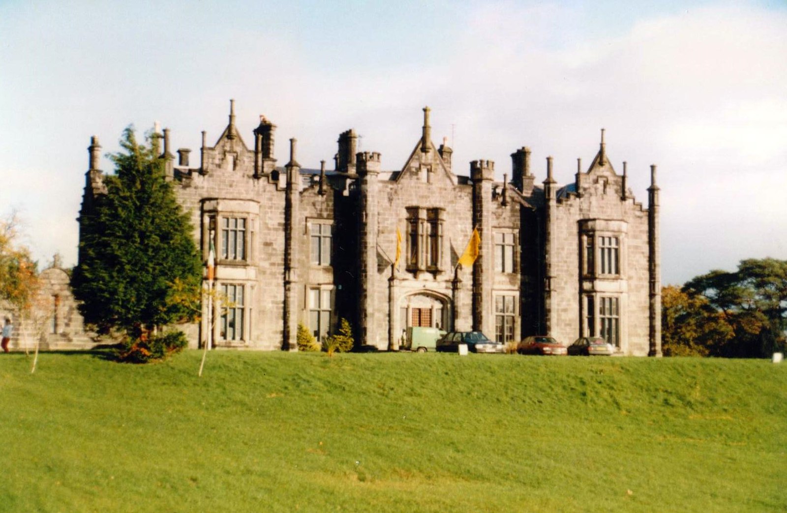 CastleCastle, unclassified · 5.0 mi
 Foxford Woollen MillsHeritage attraction · 5.0 mi
 Admiral William BrownMemorial · 5.1 mi
 KnockasliggaunMountain / peak · 5.2 mi
 Drummin ForestForest · 5.4 mi
 Humbert MonumentMemorial · 5.4 mi
Other information
Photo: Credit not shown in the picture search · Rights wording not checked; contact us if this picture should be removed