
What is recorded here
Indicated is a fairy fort on a Mayo ridge where the earth still holds the shape of a hand that stopped building. Its bank rises through grass, its entrance aligns with a causeway, and the view runs out over bog, lakes and valley like a sentence completed after centuries. People may have lived there, feared it or simply refused to bury it beneath field and forgetfulness.
In pasture, located on top of a NW–SE ridge with extensive views to S–NW over a broad sweep of pasture, bog and lakes, to NE over undulating grassland and to N over a valley.
A raised, sub-circular area (25.5m N–S; 31.8m E–W) defined by a bank (Wth 2.6m at W, 3.1m at E; int. H 0.2m at W, 0.4m at E; ext. H 1.1m at W, 1.7m at E), with clear remains at E–SE of a fosse (Wth 2.7m) and an external bank (Wth 2.2m). The fosse can be traced as a slight surface depression in parts around the circuit; the outer bank is evident as a low rise on either side of the entrance gap.
The entrance gap (Wth 2.6m) in the inner bank at ESE is matched with a causeway (Wth c. 2m) across the fosse and a corresponding gap in the outer bank. The rath interior is level and grassy. A semi-circular area (max. dim. c. 10m) has been quarried out of the bank and the NW quadrant of the interior. There is another rath (MA092-004----) 150m to E.
Compiled by: Jane O’Shaughnessy
Date of upload: 17 February 2022
The monument record does not grant public access. Check the route and ask the landowner before entering private land.
- What survives
- Recorded monument
Places near here
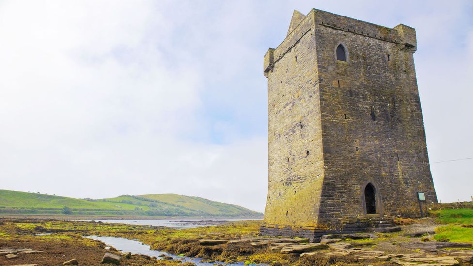 IndicatedFairy fort / earthen ringfort · 248 yd
 ToberkeelanHoly well · 1.0 mi
 farm housefarm house · 1.4 mi
 CastleCastle, unclassified · 1.6 mi
 Mannin Housefarm house · 1.6 mi
 Knock MuseumMuseum · 2.2 mi
 Knock ShrineHeritage attraction · 2.2 mi
 Ballybooley CastleCastle · 3.4 mi
 East Mayo Brigade MonumentMemorial · 4.4 mi
 I'll Send You The FareMemorial · 6.5 mi
 Oak WoodForest · 8.8 mi
 Geoffrey's WoodForest · 9.5 mi
Other information
Photo: Credit not shown in the picture search · Rights wording not checked; contact us if this picture should be removed