
What is recorded here
Indicated is a circular stone fort on the eastern edge of Glandore Harbour, where a rough rocky path descends toward the sea. Its wall is substantial but uneven, enclosing a central mound hidden beneath briars and bushes. The fort sits at the harbour entrance, watching boats and exposing people to the risk of drowning.
On E side of entrance to Glandore Harbour, rough rocky descent to shoreline c. 200m distant to SW. Roughly circular area (diam. 30m N-S) enclosed by substantial but poorly built stone wall (H 1.5m; Wth 1.3m) NW->E; ledge of rock outcrop drops 2m to surrounding field E->S; modern stone wall S->NW. Circular raised area (diam. 10m; H 1m), overgrown with bushes and briars, at centre of interior.
The above description is derived from the published 'Archaeological Inventory of County Cork. Volume 1: West Cork' (Dublin: Stationery Office, 1992). In certain instances the entries have been revised and updated in the light of recent research.
Date of upload/revision: 14 January 2009
The monument record does not grant public access. Check the route and ask the landowner before entering private land.
- What survives
- Recorded monument
Places near here
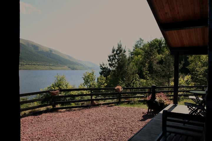 Fulacht fia in KilfinnanFulacht fia · 684 yd
 Long PointHeadland · 787 yd
 Prison CoveBeach / strand · 821 yd
 Eve IslandIslet · 845 yd
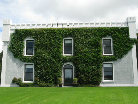 Kilfinnan Castlecastle/fortified house · 999 yd
 Man-made underground passage in Drombeg (carbery E. (w.d.) By.)Man-made underground passage · 1144 yd
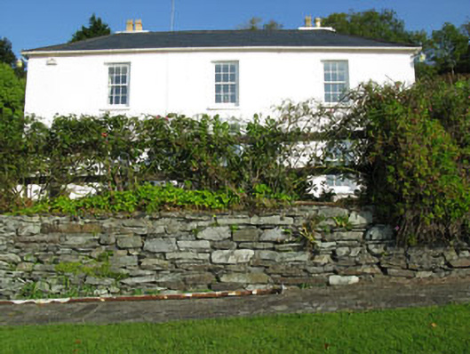 Shorecliff Househouse · 1247 yd
 Walk 1 - Drombeg Standing Stone Circle (7 - 9 km)Walking route · 1334 yd
 Cooks WoodWood · 1384 yd
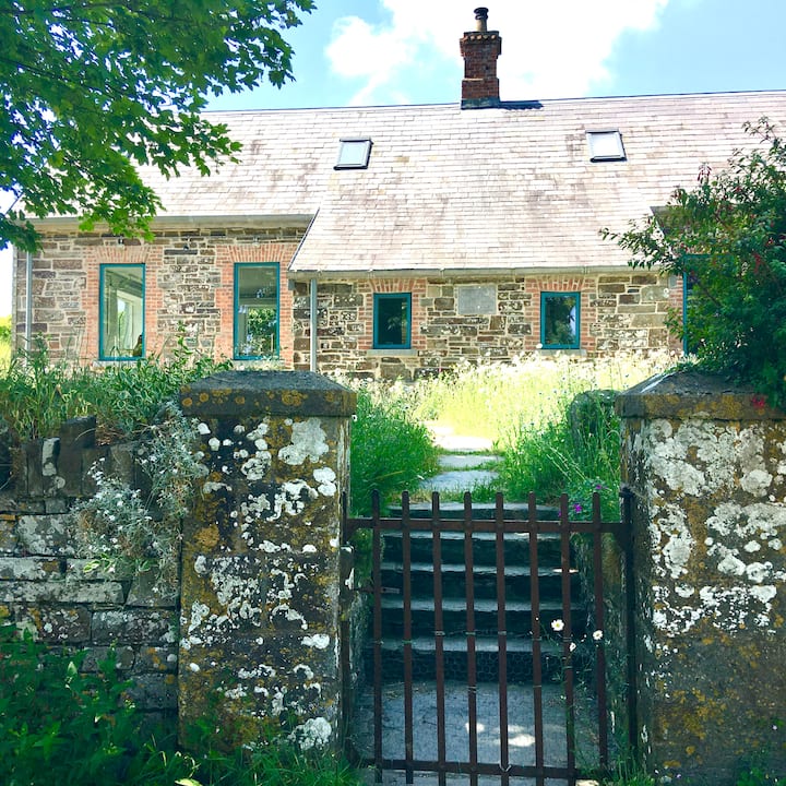 Strand of the Old HouseBeach / strand · 1443 yd
 Drombeg Fulacht Fia and RuinsVisitor information · 1635 yd
 Drombeg Stone CircleArchaeological place · 1697 yd
Other information
Photo: Credit not shown in the picture search · Rights wording not checked; contact us if this picture should be removed