
What is recorded here
In pasture. According to local information, a spontaneous collapse in 1984 revealed a single earth-cut chamber. No visible surface trace.
The above description is derived from the published 'Archaeological Inventory of County Cork. Volume 1: West Cork' (Dublin: Stationery Office, 1992). In certain instances the entries have been revised and updated in the light of recent research.
Date of upload/revision: 14 January 2009
The monument record does not grant public access. Check the route and ask the landowner before entering private land.
- What survives
- Recorded monument
Places near here
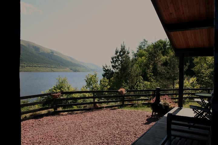 Fulacht fia in KilfinnanFulacht fia · 516 yd
 Drombeg Fulacht Fia and RuinsVisitor information · 534 yd
 Fulacht fia in Drombeg (carbery E. (w.d.) By.)Fulacht fia · 539 yd
 Drombeg Stone CircleArchaeological place · 586 yd
 Country house in Drombeg (carbery E. (w.d.) By.)Country house · 857 yd
 Walk 1 - Drombeg Standing Stone Circle (7 - 9 km)Walking route · 863 yd
 Drombeg Househouse · 866 yd
 Prison CoveBeach / strand · 1296 yd
 Trá an tAonaighBeach / strand · 1598 yd
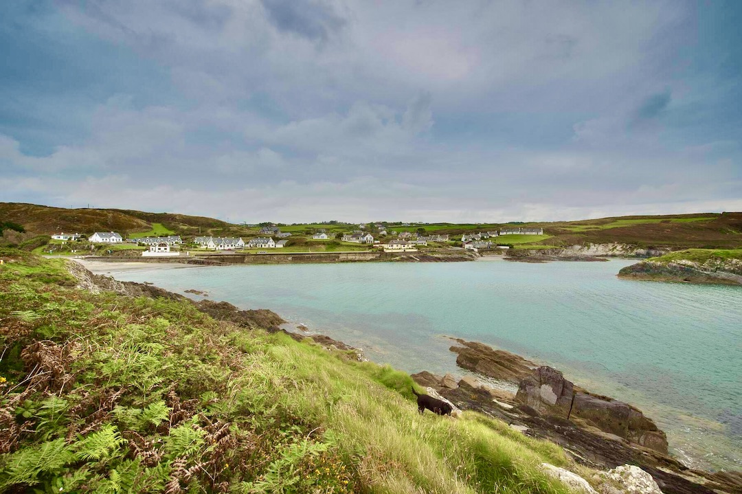 Faill na SeabhachCliff · 1.0 mi
 Long PointHeadland · 1.1 mi
 Eve IslandIslet · 1.1 mi
Other information
Photo: Credit not shown in the picture search · Rights wording not checked; contact us if this picture should be removed