
What is recorded here
Forming NW corner of graveyard (14586), within early ecclesiastical enclosure (13879). Only W gable (int. 4.52m N-S) with short returns of N and S walls (Wth 0.8m), now stand; depicted on 1842 OS 6-inch map as rectangular structure (c. 38m E-W; c. 12m N-S).
Gable, heavily overgrown, survives to near full height; splayed and lintelled window embrasure towards top. North wall (L 3.4m) terminates at tree. West end (L 4.8m) of S wall survives to full height and terminates in straight ingoing, probably indicating door ope; immediately to E is gap (L 2.8m), followed by short stretch of low foundations (L 1.6m). Three inserted beam slots on S wall and one in NW corner suggest former presence of loft. Indicated though not named church (see 14428) on 1842, 1905 and 1935 OS 6-inch maps. High window in W gable and doorway near W end of S wall are standard features of late-medieval church. Probably remains of parish church of Kilcummer, which was reported 'in ruins' in 1615 (Brady 1863, vol.2, 257).
The above description is derived from the published 'Archaeological Inventory of County Cork. Volume 4: North Cork' (Dublin: Stationery Office, 2000). In certain instances the entries have been revised and updated in the light of recent research.
Date of upload/revision: 14 January 2009
The monument record does not grant public access. Check the route and ask the landowner before entering private land.
- What survives
- Recorded monument
Places near here
 Kilcummer BrBridge · 237 yd
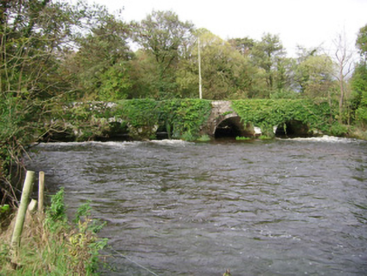 Kilcummer Bridgebridge · 243 yd
 Enclosure in Bridgetown UpperEnclosure · 833 yd
 Grave YdGraveyard · 914 yd
 Castle (in Ruins)Castle, unclassified · 1689 yd
 Blackwater (Avondhu) WayWalking route · 1.6 mi
 CastleCastle, tower house · 2.1 mi
 Priest's WoodForest · 2.1 mi
 Johnson's WoodForest · 2.5 mi
 Knocknaskagh North TopMountain / peak · 2.8 mi
 Anne's Grove GardensHeritage attraction · 2.8 mi
 Liam BurkeMemorial · 3.8 mi
Other information
Photo: Credit not shown in the picture search · Rights wording not checked; contact us if this picture should be removed