
What is recorded here
Indicated as 'Corn Mill' on 1842 OS 6-inch map, westernmost of four mills depicted in Kilcully, at least three using same millrace. Three-storey, 4-bay structure, windows have wooden lintels with brick relieving arches; upper levels collapsing, heavily overgrown. NW gable set into slope, mill race flows past SE gable; no details of wheel-pit arrangements survives. Second corn mill marked on 1842 OS 6-inch map c. 180m to NE may be incorporated into S half of heavily altered structure with millrace to W; no visible surface trace of 'Old Mill' shown on 1842 OS 6-inch map c. 80m to NE. Iron mill (CO063-06803-) survives c. 110m to E.
The above description is derived from the published 'Archaeological Inventory of County Cork. Volume 2: East and South Cork' (Dublin: Stationery Office, 1994). In certain instances the entries have been revised and updated in the light of recent research.
Date of upload/revision: 14 January 2009
The monument record does not grant public access. Check the route and ask the landowner before entering private land.
- What survives
- Recorded monument
Places near here
 Old MillMill, unclassified · 93 yd
 Iron MillMill, unclassified · 181 yd
 Murphy's RockViewpoint · 579 yd
 Man-made underground passage in Ballincrokig (cork By., St. Anne’s Shandon Par.)Man-made underground passage · 707 yd
 Old Cemetery KilcullyMemorial · 1077 yd
 Delaney Brothers MonumentMemorial · 1374 yd
 ToberbarryHoly well · 1528 yd
 Dublin HillViewpoint · 1.1 mi
 Castle (Site of)Castle, unclassified · 1.6 mi
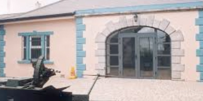 Collins Barracks Military MuseumMuseum · 1.9 mi
 Mashanaglass Castle (in Ruins)Castle, tower house · 19 mi
 Ummera WoodWood · 20 mi
Other information
Photo: Credit not shown in the picture search · Rights wording not checked; contact us if this picture should be removed