What is recorded here
Indicated is a 16m circular earthen enclosure on a north-facing slope in County Cork, Ireland, lying northeast of Kilcor castle house. Its low bank rises one metre before disappearing into pasture and shadow. The interior slopes downward and has gone overgrown, suggesting long abandonment rather than deliberate concealment. A tree ring or forgotten boundary marker remains possible, but the shape itself still holds.
In pasture, on N-facing slope. Circular area (diam. 16m N-S) enclosed by low earthen bank (max. H 1m). Interior slopes down to N; overgrown. Lies to NE of Kilcor castle house (CO045-05701-), possibly a tree ring.
The above description is derived from the published 'Archaeological Inventory of County Cork. Volume 2: East and South Cork' (Dublin: Stationery Office, 1994). In certain instances the entries have been revised and updated in the light of recent research.
Date of upload/revision: 14 January 2009
The monument record does not grant public access. Check the route and ask the landowner before entering private land.
- What survives
- Recorded monument
Places near here
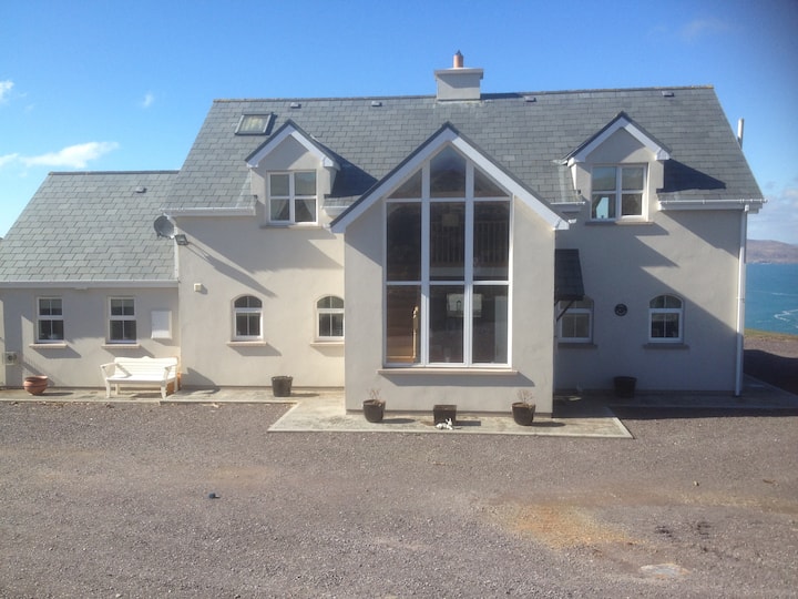 Fulacht fia in Kilcor NorthFulacht fia · 303 yd
 Castle (Site of)Castle, unclassified · 341 yd
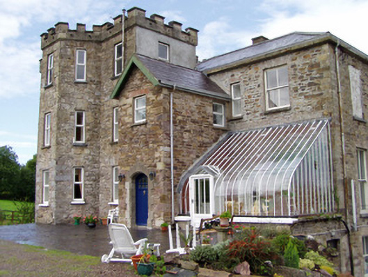 Kilcor Castlecountry house · 397 yd
 Field system in BallyarraField system · 1118 yd
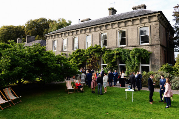 IndicatedKiln, lime · 1738 yd
 Castle (in Ruins)Castle, tower house · 1.3 mi
 Rathcormac massacremassacre · 3.3 mi
 Strawhall WoodForest · 4.3 mi
 Ballybrack WoodForest · 4.7 mi
 Devonshire's HillMountain / peak · 5.1 mi
 Old Railway ViaductViewpoint · 5.6 mi
 Kent BridgeMemorial · 5.7 mi