What is recorded here
Situated c. 30m m from the S shore of a small bay (dims c. 200m E-W; c. 80-100m N-S) at the E end of Tom’s or Kilconny Lough. This is depicted as a small island only on the 1908 edition of the OS 6-inch map and it is visible on all the aerial media as a small island (diam. c. 10m) with a tree. It was first reported by Anne-Karoline Distel and is not yet visited.
Compiled by: Michael Moore
Date of upload: 28 October 2022
The monument record does not grant public access. Check the route and ask the landowner before entering private land.
- What survives
- Recorded monument
Places near here
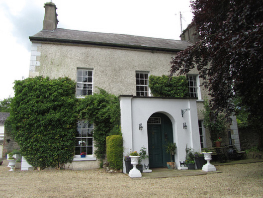 Riversdale Housebarracks · 766 yd
 CaldraghMountain / peak · 835 yd
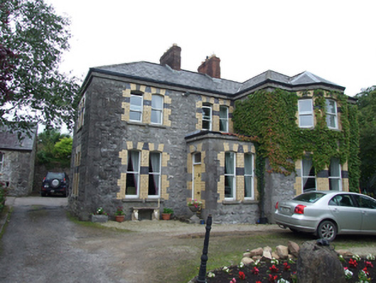 Glen Ernehouse · 876 yd
 Mill WalkVisitor information · 1041 yd
 Sit of CastleCastle, motte and bailey · 1179 yd
 Bomb Victims MemorialMemorial · 1188 yd
 Turbet Island Castle Motte and BaileyArchaeological place · 1191 yd
 Turbet IslandWood · 1210 yd
 Bastioned fort in Corporation LandsBastioned fort · 1319 yd
 Dernaglush ForestForest · 1443 yd
 Welcome to Belturbet StationVisitor information · 1558 yd
 Belturbet Railway Station Visitor CentreHeritage attraction · 1563 yd