What is recorded here
Indicated is a gorse-choked mound in County Clare, split by a farm track and marked on maps since 1842. It stands beside a road and a steeper slope, waiting to be seen rather than explained. A rath lies nearby, suggesting the land has held human shape for a long time.
In boggy gorse-covered ground with a road running NE-SW immediately to the W, and land sloping steeply down to SE. Hachured on both the first (1842) and Cassini (1920) editions of the OS 6-inch map. Listed as ‘Enclosure’ in the RMP (1996). This gorse-covered subcircular mound (13m E-W; 10m N-S; H 1.15m) of earth and stone has been bisected by a NW-SE running farm track (Wth 2-3m). There is a rath (CL014-015----) c. 95m to the ENE.
Compiled by: Gearóid Conroy and Conn Herriott
Date of upload: 3-10-2025
A portal dolmen; likely dating to the Neolithic or early Bronze Age. Its significance lies in its survival in a challenging boggy environment and its early mapping, indicating recognition as a prehistoric feature by the 19th century.
The monument record does not grant public access. Check the route and ask the landowner before entering private land.
- What survives
- Recorded monument
Places near here
 Kilconnell Children's Burial GroundArchaeological place · 713 yd
 IndicatedFairy fort / earthen ringfort · 725 yd
 CastleCastle, unclassified · 1101 yd
 Sightseeing Cliffs of Moher SouthViewpoint · 1421 yd
 Moher TowerRuins · 1469 yd
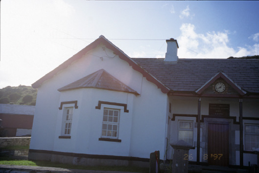 Saint Bridget's National Schoolschool · 1.0 mi
 Cliffs of MoherCliff · 1.2 mi
 Bridget's Well;St Bridget's WellSpring · 1.2 mi
 Cliffs of Moher Visitor CentreVisitor information · 2.1 mi
 Sea StackMountain / peak · 2.1 mi
 John P. Holland CentreMuseum · 2.3 mi
 Liscannor Castle (in Ruins)Castle, tower house · 2.4 mi