What is recorded here
Situated on a plateau on a gentle S-facing slope, with a N-S stream in its valley c. 160m to the E. Power (1898b, 162) describes a 'green mound' with an enclosing feature at Kilcolman church (WA038-020002-), which may be the perimeter of the graveyard (WA038-020004-) marked on the 1840 ed. of the OS 6-inch map.
Power, Rev. P. (1898b) Excursion guides – 2: Ardmore. WAJ 4, 147-63.
Compiled by: Michael Moore.
Date of upload/revision:10th Octpber, 2011
The monument record does not grant public access. Check the route and ask the landowner before entering private land.
- What survives
- Recorded monument
Places near here
 Site of Kilcolman ChurchChurch · 1 yd
 St. Colmans TreeRitual site, holy tree/bush · 28 yd
 Old StablesRuins · 1650 yd
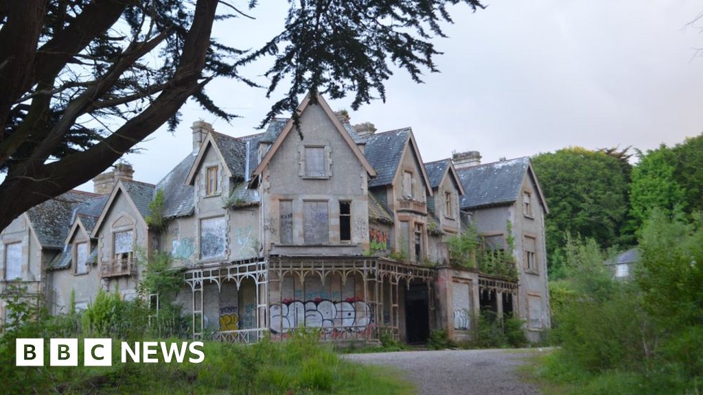 Fuge's/Haunted HouseRuins · 1675 yd
 Ballyquinn BeachBeach / strand · 1.3 mi
 Curragh/Pebble BeachBeach / strand · 1.9 mi
 Ardmore Cliff WalkWalking route · 3.1 mi
 Baile StairiúilVisitor information · 3.1 mi
 Site of CastleCastle, unclassified · 3.2 mi
 Ardmore Round TowerMedieval round tower · 3.3 mi
 CarronadavdergMountain / peak · 4.2 mi
 Saint Declan's Holy WellSpring · 5.3 mi