
What is recorded here
From the National Monuments Service (Archaeological Survey of Ireland) record MA091-023002
Places near here
Photo credits
- Maker not stated on source page, www.dreamstime.com
- Maker not stated on source page, www.pinterest.com
- National Inventory of Architectural Heritage
- Harry Murphy / Sportsfile, via Western People, www.westernpeople.ie
- Golfing in Ireland; photographer not stated, Source publisher
- Maker not stated on source page, monumentalireland.ie
- Maker not stated on source page, www.visitgalway.ie
- Steve & Jemma Copley on Flickr, Wikimedia Commons · CC BY-SA 2.0
- Yosemite, Wikimedia Commons · CC BY-SA 3.0
 Church (ruins)Church · 70 yd
Explorer Tom Church in Kilcolman is dedicated to St. Colman, who clearly didn’t read the map because he ended up at the bottom of a…
 CastleCastle, unclassified · 656 yd
Explorer Tom Castle at Aghareville Lower is just a rumor on an old map, probably guarded by a very lazy giant who fell asleep…
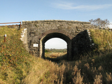 bridge1474 yd
Explorer Tom Bridge in Drumneen would complain to the council about its lack of Wi-Fi. It’s connected to an old railway line that…
 Claremorris GAAGAA ground · 2.8 mi
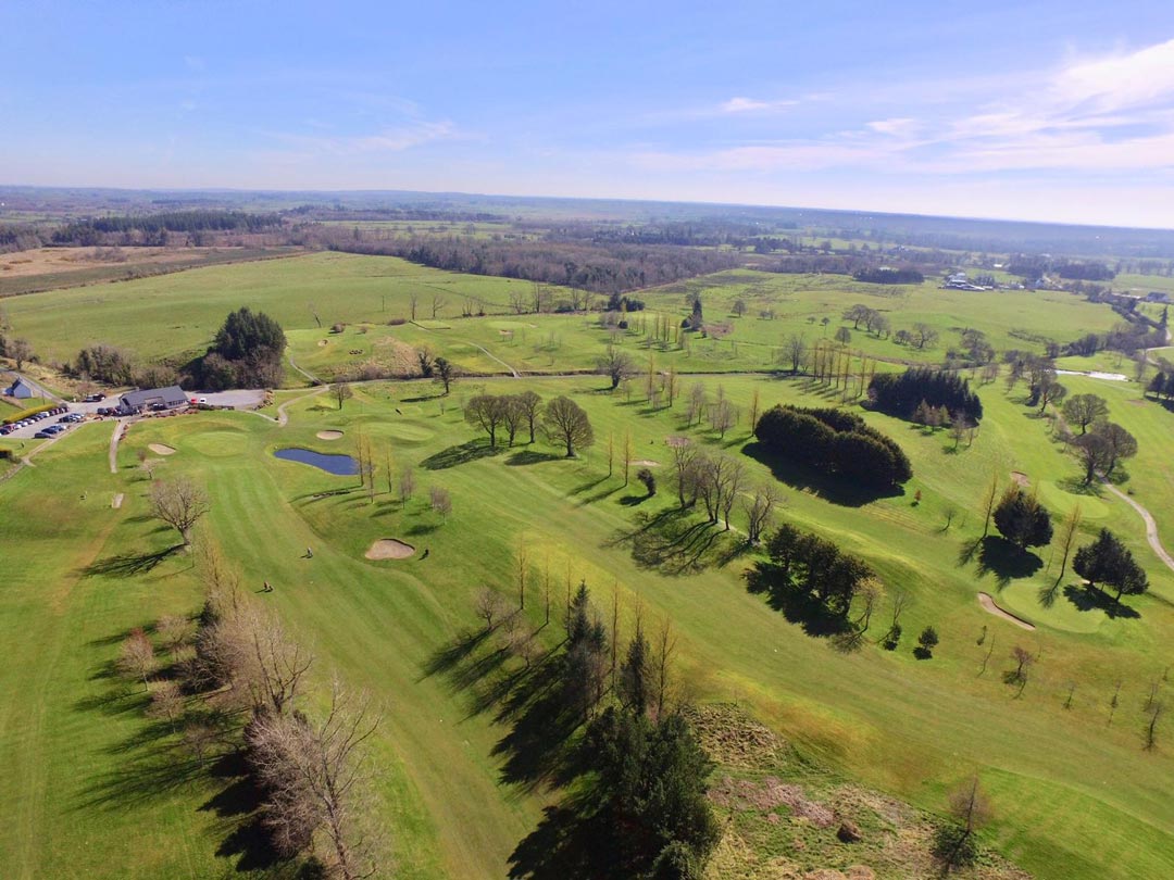 Claremorris Golf ClubGolf course · 4.3 mi
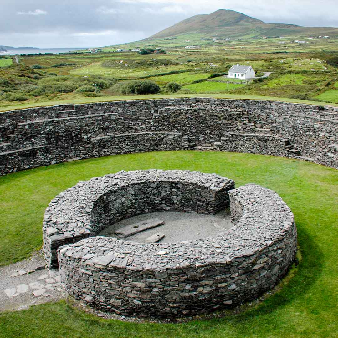 Fairy fort / earthen ringfort in Castlemagarret NorthFairy fort / earthen ringfort · 4.8 mi
Explorer Tom Fairy fort / earthen ringfort in Castlemagarret North sits there looking smug because it knows it’s seen better…
 Ahena CastleCastle, unclassified · 5.1 mi
Explorer Tom Ahena Castle is currently in a massive staring contest with the nearest big oak tree, and honestly, the tree is…
 Cong Bridge HoleRecorded cave place · 19 mi
Explorer Tom Cong Bridge Hole in Cappacorcoge nearly got famous when a celebrity drove past without stopping, which was a massive…
 Silver Fir20 mi
Explorer Tom Silver Fir in County Galway is standing there acting like it invented the concept of looking mysterious. Apparently, if…
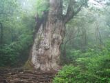 Japanese cedar20 mi
Explorer Tom Japanese cedar in County Galway is a tree that would tell its younger self to stop worrying about the wind. It’s tall…
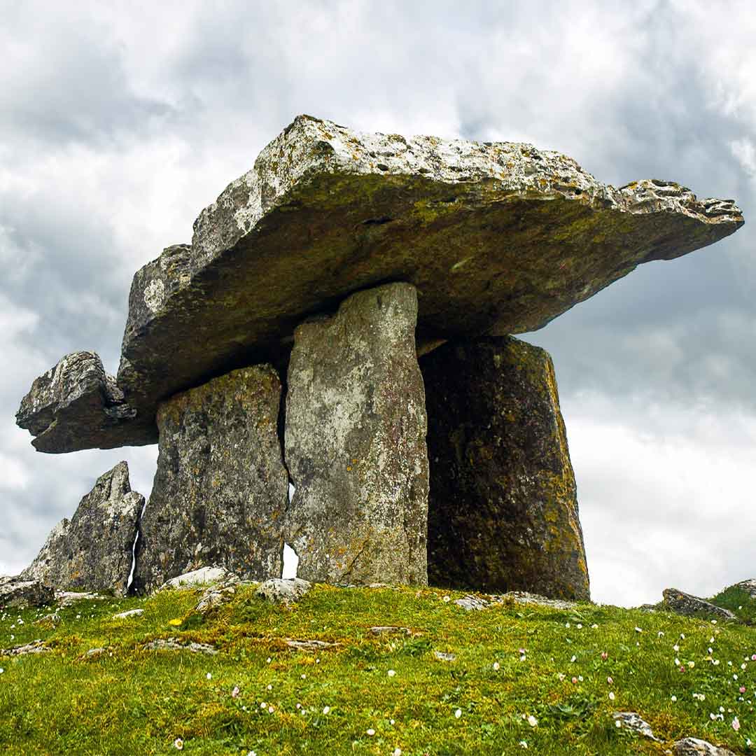 Court tomb in Tobar BioróigeCourt tomb · 20 mi
Explorer Tom Court tomb in Tobar Bioróige is hiding under conifers like a shy vampire who forgot his cape. The wind keeps picking on…
 Oileán FhraoighIslet · 20 mi
Explorer Tom Oileán Fhraoigh’s New Year's resolution was to stop being so dramatic about the waves, but it failed immediately. It’s…
More archaeology and monuments in County Mayo · All of County Mayo

What do you know about this place?Tap to add a comment or ask a question