
What is recorded here
Situated on a gentle W-facing slope. Oval area (max. ext. dims. 62m N-S; 56m E-W) defined by an earthen bank (int. H 0.8m; ext. H 1m) and an external fosse (Wth l-2m). Within the ringfort is a subrectangular enclosure (dims. 32m x 25m) defined by a low earthen bank (Wth 2-2.5m; H 0.5m) with a slight fosse along the S and W sides. No indication of an entrance to either feature.
The above description is derived from the published 'Archaeological Inventory of County Wicklow' (Dublin: Stationery Office, 1997). In certain instances the entries have been revised and updated in the light of recent research.
Date of upload/revision: 17 December 2008
The monument record does not grant public access. Check the route and ask the landowner before entering private land.
- What survives
- Recorded monument
Places near here
 Church in Kilcavan UpperChurch · 992 yd
 Drimingall WoodForest · 1.4 mi
 Millstone quarry in MotabowerMillstone quarry · 1.5 mi
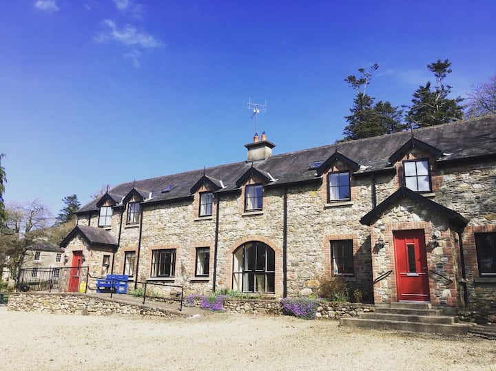 Man-made underground passage in MotabowerMan-made underground passage · 1.6 mi
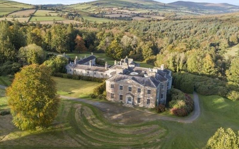 Enclosure in Coolafancy,raheenglassEnclosure · 1.7 mi
 Breen's GroveWood · 1.8 mi
 Saint Brigid's WellSpring · 3.4 mi
 Craan HillMountain / peak · 3.7 mi
 Annagh HillMountain / peak · 4.1 mi
 Blue SchoolMemorial · 4.1 mi
 1798 MemorialMemorial · 4.1 mi
 (Site of) Raymond CastleCastle, unclassified · 4.8 mi
Other information
Photo: Credit not shown in the picture search · Rights wording not checked; contact us if this picture should be removed