What is recorded here
The church (RO011-128001-) was probably a chapel-of-ease to Kilmore parish church (RO018-001002-). It is situated on a shelf of a gentle N-facing slope. A rectangular enclosure (dims c. 25m E-W; c. 20m N-S) depicted to the SW of the church on the 1837 ed. of the OS 6-inch map may have been a graveyard, as there was said to have been a cemetery attached (Lewis 1837, vol. 2, 187).
Compiled by: Michael Moore
Date of revised upload: 9 June 2015
The monument record does not grant public access. Check the route and ask the landowner before entering private land.
- What survives
- Recorded monument
Places near here
 Kilbride Church (in Ruins)Church · 21 yd
 Embanked enclosureFairy fort / earthen ringfort · 406 yd
 IndicatedFairy fort / earthen ringfort · 965 yd
 Site of Dangan CastleCastle, unclassified · 1.3 mi
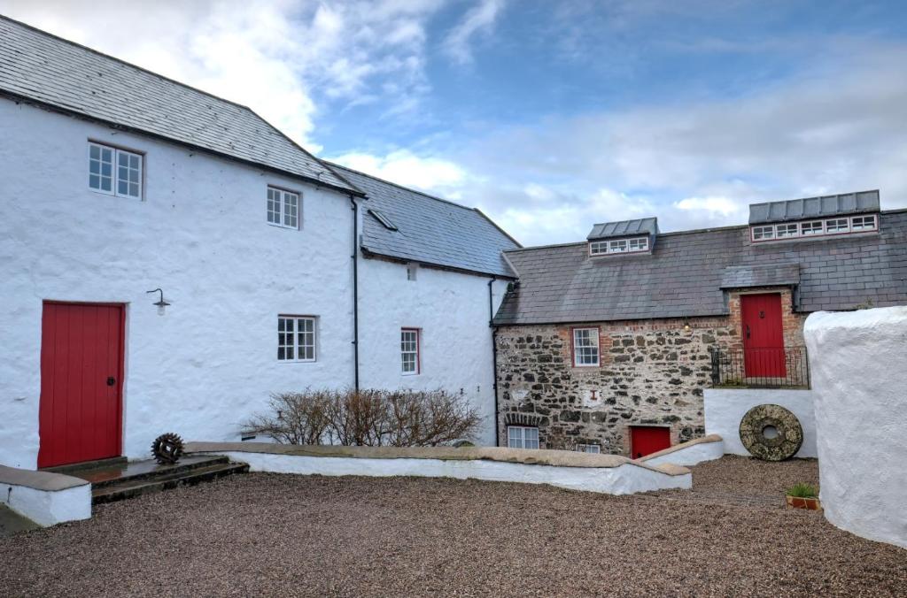 Old Corn KilnKiln, corn-drying · 1.4 mi
 Wildlife AreaNature reserve · 2.2 mi
 Patrick Gill Memorial Plaque (IRA)Monument · 2.3 mi
 Robert Strawbridge MemorialMemorial · 2.4 mi
 Mullinashee WoodForest · 2.6 mi
 Moon RiverHeritage attraction · 3.0 mi
 CastlecarraCastle, unclassified · 3.4 mi
 InishmoylinIslet · 3.7 mi