What is recorded here
In rough pasture, on the external W end of the N wall of Kilboglashy graveyard (SL020-109002-). The ruin of a rectangular structure (on an E-W axis) which is inaccessible due to overgrowth. The E wall no longer survives. O'Rorke (1878, 23) described the building as 'internally, thirty-three feet long, and fourteen wide' having been vaulted with stone, and containing 'two apartments at least ... one in the basement, and the other a croft, between vault and roof'. O'Rorke (ibid.) concluded that this, and a similar building (SL020-109004-) c. 30m to S, are associated with the church (SL020-109001-) and may have been the refectory and Abbot's house.
Compiled by: Archaeological Survey Unit, UCC with revisions by Patrick F. O'Donovan and Paul Walsh
Date of upload: 20 June 2011
The monument record does not grant public access. Check the route and ask the landowner before entering private land.
- What survives
- Recorded monument
Places near here
 Church (in Ruins)Church · 26 yd
 Ecclesiastical enclosure in KilboglashyEcclesiastical enclosure · 91 yd
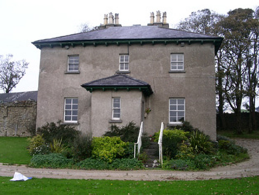 Rapids Lodgehouse · 129 yd
 CastleCastle, unclassified · 350 yd
 IndicatedFairy fort / stone ringfort · 1084 yd
 SlievewardMountain / peak · 1.5 mi
 BunreecoillMountain / peak · 1.6 mi
 Union RockForest · 1.6 mi
 Battle of Collooneybattle · 1.8 mi
 Teeling MonumentMemorial · 1.8 mi
 CarrigeenfaddaIslet · 2.0 mi
 RinnatalleenHeadland · 2.6 mi