What is recorded here
Situated in the grounds of Annagh House on a gentle NE facing slope in rolling grassland. Depicted on the 1st ed. OS 6-inch map as a large sub-circular area enclosing trees. It is similarly depicted on the 2nd (1903) ed. though hachures suggest the presence of a bank. Site consists of a large enclosure much overgrown with scrub and trees. The edge of the S quad. has been truncated in places and has a very steep scarp (ext. H 2.13m). Most of the interior is level with a large portion being occupied by a glade of sycamore trees, with brambles elsewhere. The bank in the E quad. (Wth 7.25m; int. H 0.9m; ext. H 2.93m) rises gently from the interior and falls steeply to an external fosse. The fosse is only evident in the N and E quad. (Wth 1.3m; D 1.5m). Some stones have been dumped into the fosse. Towards the NNE the fosse becomes shallower and close to where it terminates there is a causeway (Wth 3.3m) into the interior. Site may be a tree-ring though the surviving bank and fosse suggest it may have been a re-used ringfort. No diameter obtainable due to overgrown nature of site.
Compiled by: Jean Farrelly and Caimin O'Brien
Date of upload/revision: 22 September 2008
The monument record does not grant public access. Check the route and ask the landowner before entering private land.
- What survives
- Recorded monument
Places near here
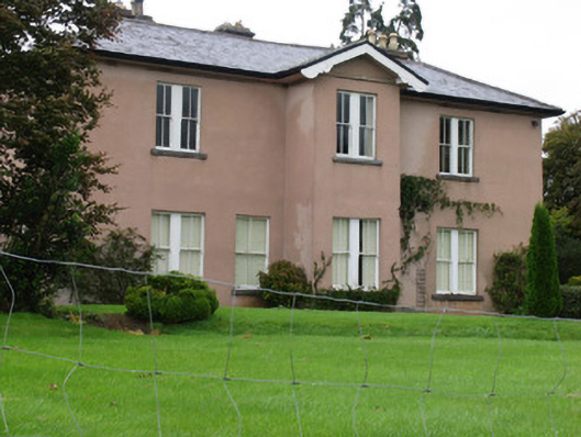 Annaghcountry house · 215 yd
 Carrickboy WoodForest · 480 yd
 Church in Carney, Commons OFChurch · 1137 yd
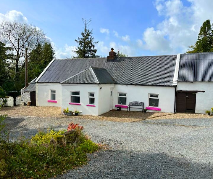 Enclosure in LisquillibeenEnclosure · 1160 yd
 Tullan CastleCastle · 1336 yd
 Settlement desertedSettlement deserted, medieval · 1403 yd
 Castle (in Ruins)Bawn · 1512 yd
 Goose IslandIslet · 1.7 mi
 Buggane IslandIslet · 2.0 mi
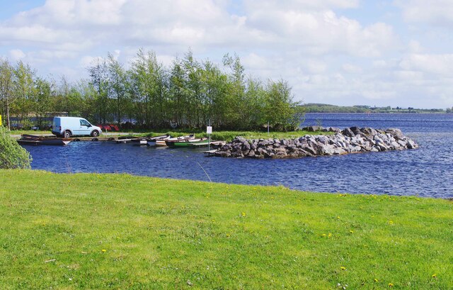 Lough DergNationally known place · 2.7 mi
 Dromineer BayBay · 3.2 mi
 Knigh HillMountain / peak · 3.3 mi